Hopfenberg
Located in Waltershausen, Landkreis Gotha Coordinates: 50°52′39″ N 10°27′34″ E
- Elevation
- 530 m
- above sea level
- Local time
- UTC+01:00
- Europe/Berlin · UTC+01:00
About Hopfenberg
Hopfenberg is a mountain. Location: Waltershausen, Landkreis Gotha. Elevation: 530 m.
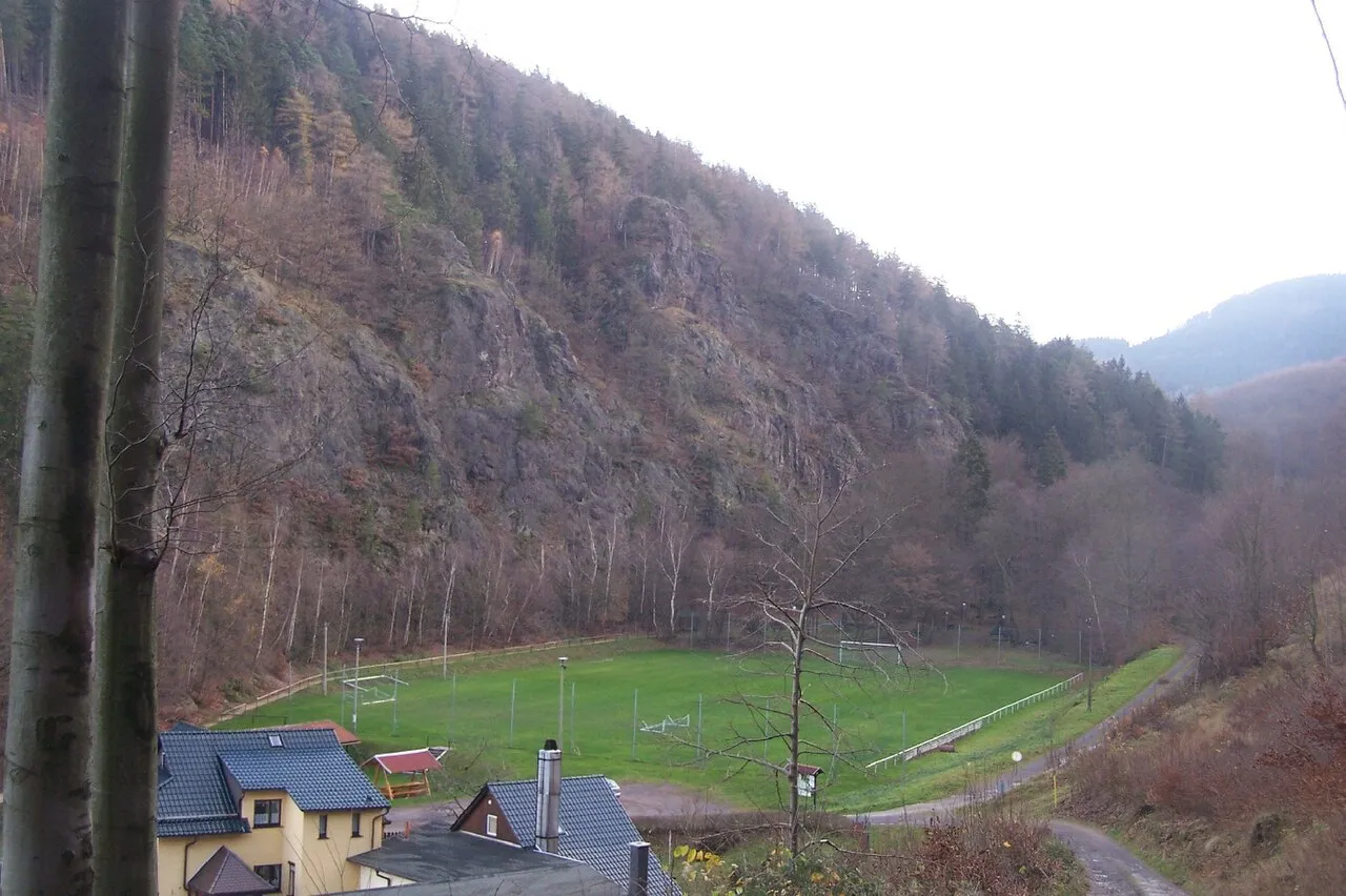
The Hopfenberg is a wooded hill near Winterstein in the borough of Waltershausen, in the county of Gotha in the German state of Thuringia. With a height of 536.1 m above NN, the Hopfenberg forms the eastern boundary of the Emse valley within the municipality of Winterstein. The hill, which is cleared on its western and northern flanks, was used in the Middle Ages for the cultivation of hops, from which the hill derives its name.
Read more on Wikipedia Text: Wikipedia contributors · CC BY-SA 4.0 · shortened
In comparison
- No. 7395 of 25787 mountains in Germany by elevation
- 124 sights and natural places within 10 km Sembach, Fuchshüttengrund
Nearest towns and villages
-
Winterstein Village, Waltershausen0.8 km N
-
Bad Tabarz Village, Landkreis Gotha3.4 km SE
-
Seebach Village, Wartburgkreis3.8 km NW
-
Tabarz Village, Bad Tabarz4 km E
-
Fischbach Village, Waltershausen1.7 km NE
-
Schmerbach Village, Waltershausen2.7 km N
Nearby attractions & nature
Everything nearby-
Breitenberg Mountain, Waltershausen1.4 km S
-
Fuchshüttengrund Natural site, Thuringia1.4 km SW
-
Kleiner Inselsberg Mountain, Waltershausen1.9 km S
-
Hübelskopf Mountain, Bad Tabarz1.7 km SE
-
Thielberg Mountain, Waltershausen1.8 km W
-
Sembach River, Thuringia0.9 km NW
-
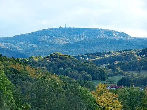 Großer Inselsberg Mountain, Brotterode-Trusetal2.9 km S
-
Wintersteiner Grund Natural site, Thuringia2.2 km SW
More nature in Germany
-
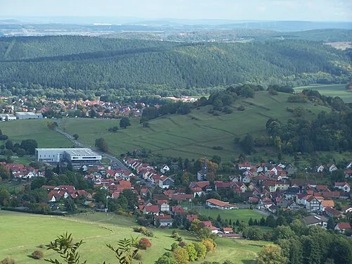 Grübelberg Mountain, Waltershausen3.3 km NE
-
Drehberg Mountain, Waltershausen3.1 km SW
-
Hohe Heide Mountain, Waltershausen2.8 km SW
-
Oberer Beerberg Mountain, Waltershausen3.1 km S
-
Dachskopf Mountain, Waltershausen3.8 km NE
-
Weißenberg Mountain, Waltershausen3.8 km SW
Sources & licences
Data last updated: · 2 independent sources