Simmersberg
Located in Masserberg, Landkreis Hildburghausen Coordinates: 50°30′09″ N 10°53′36″ E
- Elevation
- 781 m
- above sea level
- Local time
- UTC+01:00
- Europe/Berlin · UTC+01:00
About Simmersberg
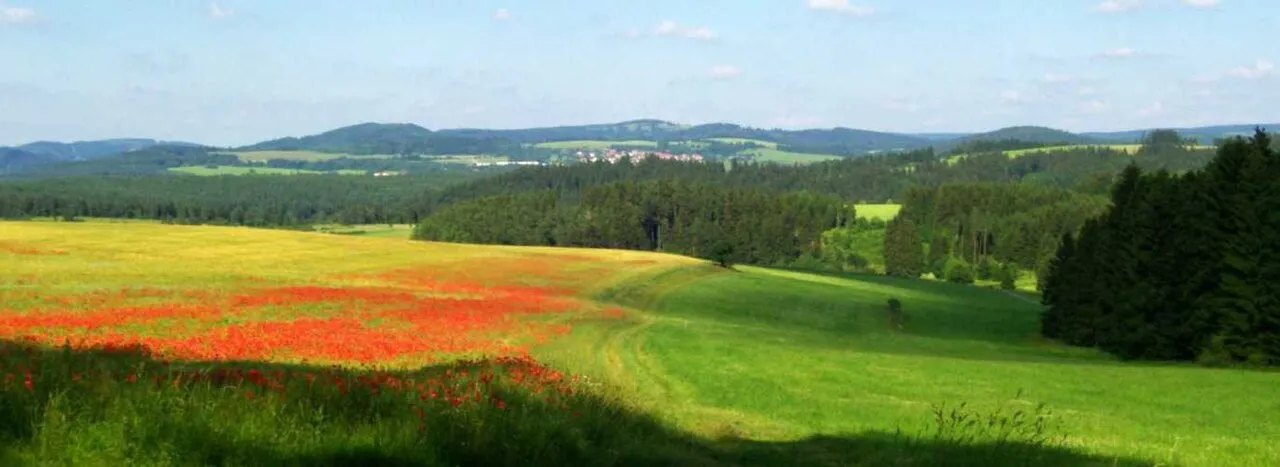
Simmersberg is a mountain. Location: Masserberg, Landkreis Hildburghausen. Elevation: 781 m.
The Simmersberg is a mountain, 780.8 m above sea level (NHN), near Schnett in the municipality of Masserberg) in the county of Hildburghausen in Germany. It is the main summit of a forked mountain chain, which runs along the boundary between the Thuringian Forest and the Thuringian Highland from Masserberg towards the southwest and is bounded by the valleys of the Schleuse (in the northwest) and its tributary, the Biber (in the south).
Read more on Wikipedia Text: Wikipedia contributors · CC BY-SA 4.0 · shortened
In comparison
- No. 2761 of 25787 mountains in Germany by elevation
- 79 sights and natural places within 10 km Schnetter Berg, Höheberg
Nearest towns and villages
-
Schleusegrund Village, Landkreis Hildburghausen3 km NW
-
Schnett Village, Masserberg0.8 km SE
-
Einsiedel Village, Masserberg1.8 km SE
-
Heubach Village, Masserberg2.4 km E
-
Auengrund Village, Landkreis Hildburghausen5 km SW
-
Masserberg Village, Masserberg5.8 km E
Nearby attractions & nature
Everything nearby-
Schnetter Berg Mountain, Masserberg1.2 km N
-
Höheberg Mountain, Masserberg1.4 km NE
-
Heidental Natural site, Thuringia1.7 km N
-
Hohe Warth Mountain, Schleusegrund1.9 km W
-
Höh Mountain, Eisfeld2.8 km SE
-
Holz-Berg Mountain, Schleusegrund2.8 km NE
-
Kirchberg Mountain, Auengrund2.8 km SW
-
Buchenberg Mountain, Schleusegrund3.6 km NW
Sources & licences
Data last updated: · 2 independent sources