Pleß
Located in Breitungen/Werra, Landkreis Schmalkalden-Meiningen Coordinates: 50°44′37″ N 10°14′30″ E
- Elevation
- 645 m
- above sea level
- Local time
- UTC+01:00
- Europe/Berlin · UTC+01:00
About Pleß
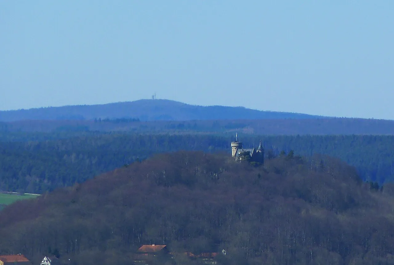
Pleß is a mountain. Location: Breitungen/Werra, Landkreis Schmalkalden-Meiningen. Elevation: 645 m.
The Pleß is a mountain, 645.4 m above sea level (NHN), in the county of Schmalkalden-Meiningen in the Salzungen Werra Highland in the German state of Thuringia.
Read more on Wikipedia Text: Wikipedia contributors · CC BY-SA 4.0 · shortened
At a glance
- Topographic prominence
- 253 m
Source: Wikidata
In comparison
- No. 4266 of 25787 mountains in Germany by elevation
- 76 sights and natural places within 10 km Bocksberg, Forst Frauenbreitungen
Nearest towns and villages
-
Rosa Village, Landkreis Schmalkalden-Meiningen3.1 km S
-
Rosa Village, Rosa3.6 km S
-
Breitungen Village, Breitungen/Werra6.4 km E
-
Roßdorf Village, Landkreis Schmalkalden-Meiningen5.2 km S
-
Urnshausen Village, Dermbach4.9 km W
-
Roßdorf Village, Roßdorf5.2 km S
Nearby attractions & nature
Everything nearby-
Bocksberg Mountain, Breitungen/Werra1.7 km NW
-
Küchenberg Mountain, Breitungen/Werra2.3 km E
-
Großer Balz Mountain, Breitungen/Werra2.4 km NE
-
Forst Frauenbreitungen Natural site, Thuringia1.9 km E
-
Hunnkuppe Mountain, Barchfeld-Immelborn2.6 km N
-
Rotheberg Mountain, Schmalkalden, Kurort2.7 km SE
-
Hammelstein Mountain, Bad Salzungen2.8 km W
-
Stoffelskuppe Mountain, Roßdorf2.3 km SW
Sources & licences
Data last updated: · 2 independent sources