Ulsterberg
Located in Unterbreizbach, Wartburgkreis Coordinates: 50°47′36″ N 9°59′06″ E
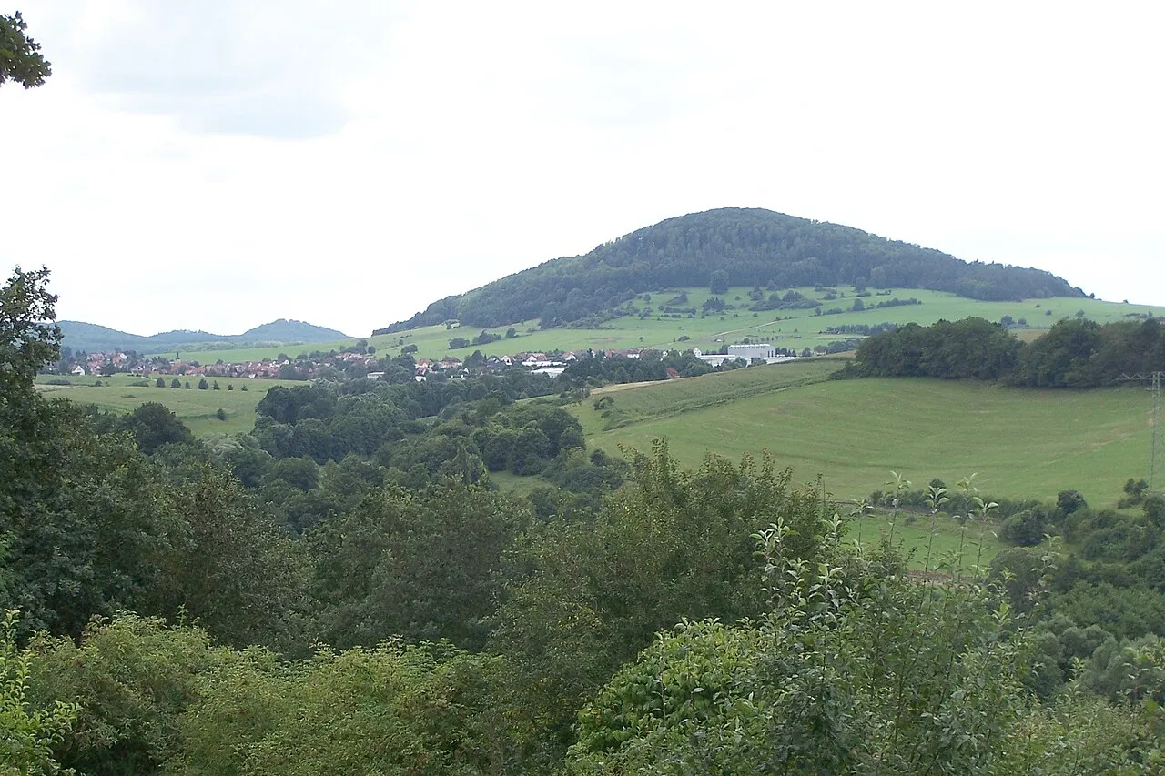
- Elevation
- 487 m
- above sea level
- Local time
- UTC+01:00
- Europe/Berlin · UTC+01:00
About Ulsterberg
Ulsterberg is a mountain. Location: Unterbreizbach, Wartburgkreis. Elevation: 487 m.
At a glance
- Topographic prominence
- 163 m
Source: Wikidata
In comparison
- No. 9261 of 25787 mountains in Germany by elevation
- 70 sights and natural places within 10 km Kornberg, Larauer Berg
Airports nearest to Ulsterberg
- Erfurt-Weimar Airport (ERF) Erfurt 72 km
- Kassel Airport (KSF) Calden 81 km
- Paderborn Lippstadt Airport (PAD) Büren 132 km
Straight-line distance; airports with scheduled flights only. Source: OurAirports (public domain).
Nearest towns and villages
-
Unterbreizbach Village, Unterbreizbach2.6 km N
-
Mühlwärts Village, Unterbreizbach1 km S
-
Hüttenroda Village, Unterbreizbach1.1 km SE
-
Sünna Village, Unterbreizbach1.1 km E
-
Pferdsdorf Village, Unterbreizbach1.4 km W
-
Vacha Village, Vacha4.6 km NE
Nearby attractions & nature
Everything nearby-
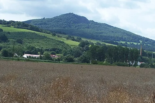 Öchsen Mountain, Vacha3.1 km E
-
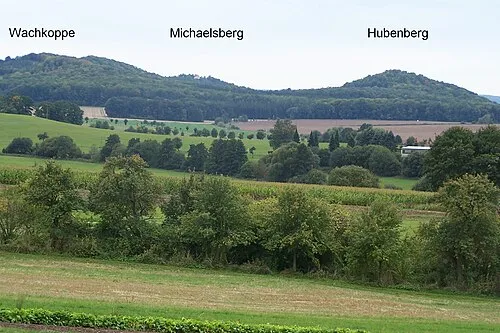 Hubenberg Mountain, Buttlar3.1 km S
-
Kornberg Mountain, Unterbreizbach2.6 km W
-
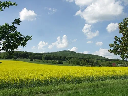 Dietrichsberg Mountain, Vacha3.4 km E
-
Larauer Berg Mountain, Unterbreizbach2.8 km N
-
Buchen-Berg Mountain, Buttlar3.3 km S
-
Langer Berg Mountain, Buttlar3.4 km S
-
Wachkoppe Mountain, Buttlar3.5 km S
Sources & licences
Data last updated: · 2 independent sources