Auerstedt
Located in Bad Sulza, Weimarer Land Coordinates: 51°05′59″ N 11°35′21″ E
- Population
- 492
- 492
- Elevation
- 152 m
- above sea level
- Local time
- UTC+01:00
- Europe/Berlin · UTC+01:00
About Auerstedt
Auerstedt is a village. Location: Bad Sulza, Weimarer Land. Population: 492. Elevation: 152 m.
Auerstedt [ˈaʊ̯ɐ.ʃtɛt] is a village and a former municipality in the Weimarer Land district of Thuringia, Germany. Since 31 December 2012, it is part of the town Bad Sulza. It lies 25 miles (40 km) northeast of Weimar. On October 14, 1806, the Battle of Auerstedt, a decisive victory for Napoleon I of France, took place near Auerstedt. As a result, the leader of the victorious French forces, Louis-Nicolas Davout, was appointed duc d'Auerstaedt.
Read more on Wikipedia Text: Wikipedia contributors · CC BY-SA 4.0 · shortened
At a glance
- Area
- 8.5 km²
Source: Wikidata
In comparison
- No. 3 of 8 places in Bad Sulza by population
- Nearest larger town: Bad Sulza, 2 km SW
- 23 sights and natural places within 10 km Volksberg, Tamselberg
Nearby attractions & nature
Everything nearby-
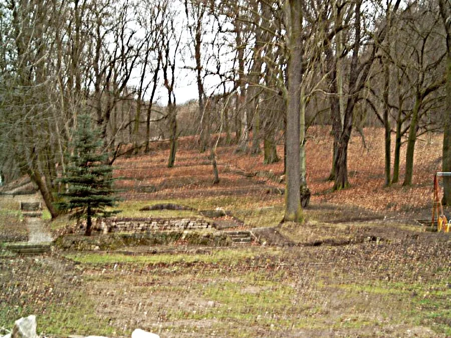 Early Camp Bad Sulza Historic site, Bad Sulza3 km SE
-
Tamselberg Mountain, Lanitz-Hassel-Tal2.2 km E
-
Sonnenkuppe Mountain, Bad Sulza3.1 km E
-
Volksberg Mountain, Eckartsberga2 km N
-
KZ Bad Sulza Historic site, Bad Sulza3.2 km E
-
Utenbach River, Thuringia5.1 km SW
Sources & licences
Data last updated: · 2 independent sources