Thuringian Forest
Located in Germany Coordinates: 50°40′00″ N 10°50′00″ E
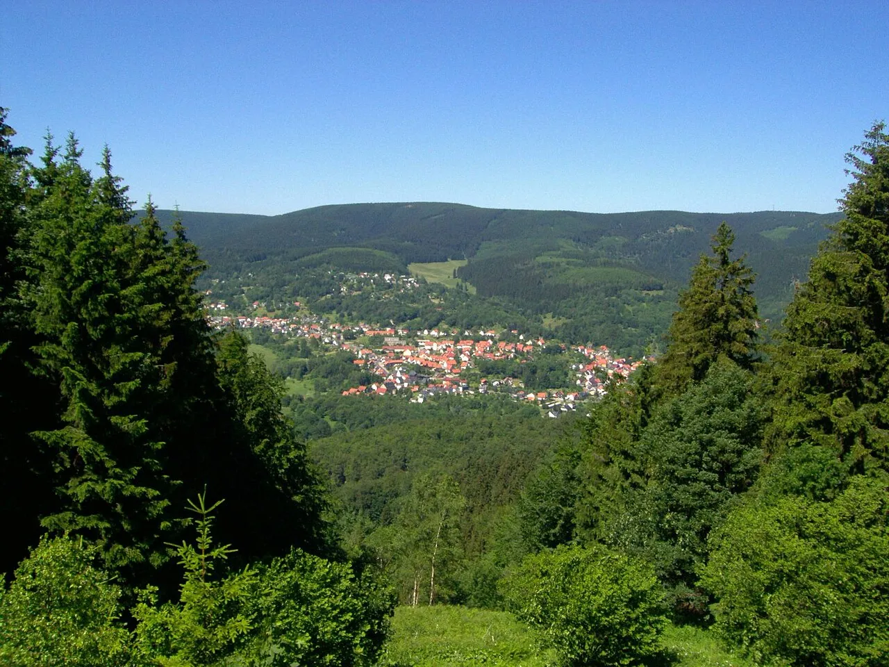
- Elevation
- 721 m
- above sea level
- Local time
- UTC+01:00
- Europe/Berlin · UTC+01:00
About Thuringian Forest
Thuringian Forest is a mountain. Location: Germany. Elevation: 721 m.
The Thuringian Forest (Thüringer Wald in German pronounced [ˈtyːʁɪŋɐ ˈvalt] ) is a mountain range in the southern parts of the German state of Thuringia, running northwest to southeast. Skirting from its southerly source in foothills to a gorge on its north-west side is the Werra valley. On the other side of the Forest is an upper outcrop of the North German Plain, the Thuringian Basin, which includes the city of Erfurt.
Read more on Wikipedia Text: Wikipedia contributors · CC BY-SA 4.0 · shortened
At a glance
- Length
- 120 km
- Area
- 1,000 km²
Source: Wikidata
In comparison
- No. 3323 of 25787 mountains in Germany by elevation
- 86 sights and natural places within 10 km Hirschkopf, Forst Geraberg
Nearest towns and villages
-
Gehlberg Village, Suhl3.3 km NW
-
Elgersburg Village, Ilm-Kreis3.9 km N
-
Mönchshof Village, Ilmenau1.2 km N
-
Stützerbach Village, Ilmenau4.4 km SE
-
Ilmenau Village, Ilm-Kreis6.7 km NE
-
Elgersburg Village, Elgersburg4.6 km N
Nearby attractions & nature
Everything nearby-
Hirschkopf Mountain, Ilmenau0.4 km E
-
Forst Geraberg Natural site, Thuringia1.9 km N
-
Rosen-Kopf Mountain, Suhl2.2 km SW
-
Heidelberg Mountain, Ilmenau2.2 km NE
-
Rumpelsberg Mountain, Elgersburg2.4 km N
-
Beerberge Mountain, Thuringia6.2 km W
-
Rosenkopf Mountain, Ilmenau3 km S
-
Kammerberg Natural site, Ilmenau3.1 km NE
More nature in Germany
-
Kleiner Finsterberg Mountain, Suhl3.2 km SW
-
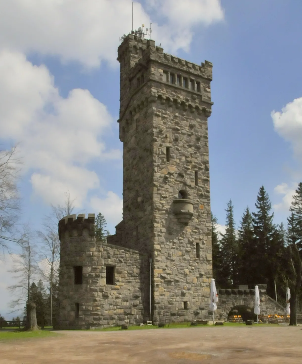 Hohe Warte Mountain, Elgersburg3.3 km N
-
 Kickelhahn Mountain, Ilmenau3.4 km E
-
Reifberg Mountain, Ilmenau3.7 km S
-
Hohe Tanne Mountain, Ilmenau3.7 km SE
-
Brand Mountain, Suhl3.7 km W
Sources & licences
Data last updated: · 2 independent sources