Tagari
Local name: Ταγάρι
Located in Nomós Piraiós, Attica Coordinates: 37°16′05″ N 23°21′15″ E
- Local time
- UTC+02:00
- Europe/Athens · UTC+02:00
About Tagari
Tagari is an island. Location: Nomós Piraiós, Attica.
Nearest towns and villages
Nearby attractions & nature
Everything nearby-
Aimilianós Island, Argolida14 km W
-
Tigani Island, Argolida14 km W
-
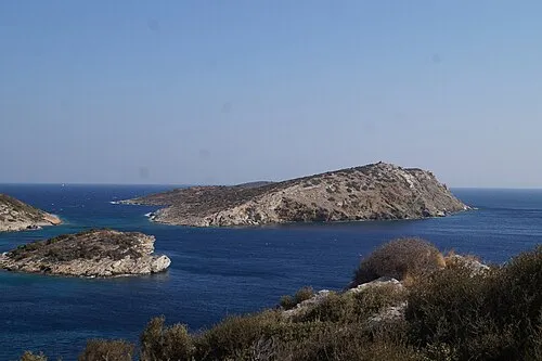 Nisída Spathí Island, Attica24 km NE
-
Nisída Mikró Island, Attica15 km W
-
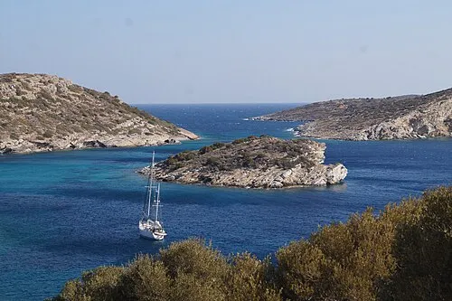 Gali Island, Nomós Piraiós24 km NE
-
Limnióniza Island, Nomós Piraiós16 km NE
-
Kelevini Islands Island, Attica25 km NE
-
Moní Agíon Pánton Attraction, Spetses17 km W
Sources & licences
Data last updated: · 2 independent sources