Granítsa
Local name: Γρανίτσα
Located in Agrafa, Nomós Evrytanías Coordinates: 39°06′09″ N 21°30′40″ E
- Population
- 360
- 360
- Elevation
- 855 m
- above sea level
- Local time
- UTC+02:00
- Europe/Athens · UTC+02:00
About Granítsa
Granítsa is a village. Location: Agrafa, Nomós Evrytanías. Population: 360. Elevation: 855 m.
Granitsa (Greek: Γρανίτσα from the Slavic word for "border") is a mountain village and a community in Evrytania, Greece. It is situated at 720 meters elevation, on a mountain slope above the river Granitsiotis. It is built in the forested lower regions of Mount Liakoura. Granitsa was the seat of the municipality of Aperantia. The community consists of the villages Granitsa, Ano Potamia, Kato Potamia and Armampela. The village preserves its old appearance. It is 82 kilometers northwest of Karpenisi.
Read more on Wikipedia Text: Wikipedia contributors · CC BY-SA 4.0 · shortened
In comparison
- No. 8 of 86 places in Agrafa by population
- Nearest larger town: Raptópoulo, 6 km NW
Nearby attractions & nature
Everything nearby-
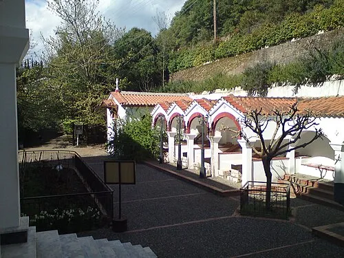 Moni Tatárnas Attraction, Agrafa18 km S
-
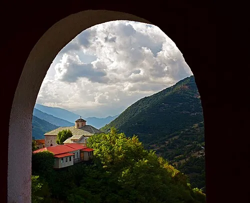 Moni Spilias Attraction, Argithea18 km N
Sources & licences
Data last updated: · 2 independent sources