Tithronio
Local name: Τιθρώνιο
Located in Amfikleia-Elateia, Phthiotis Coordinates: 38°42′46″ N 22°34′53″ E
- Population
- 101
- 101
- Elevation
- 647 m
- above sea level
- Local time
- UTC+02:00
- Europe/Athens · UTC+02:00
About Tithronio
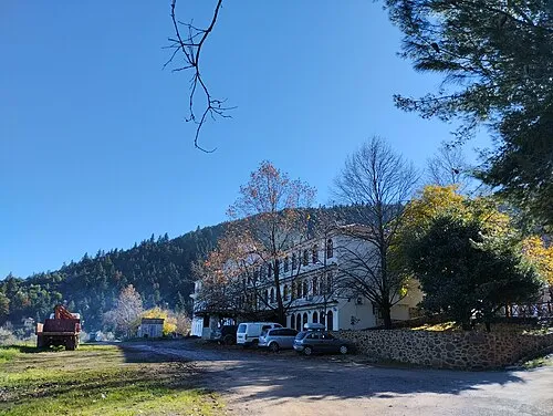
Tithronio is a village. Location: Amfikleia-Elateia, Phthiotis. Population: 101. Elevation: 647 m.
Tithronium or Tithronion (Ancient Greek: Τιθρώνιον), or Tethronium or Tethronion (Τεθρώνιον), was a frontier town of ancient Phocis, on the side of Doris. Livy, who calls it Tritonon, describes it as a town of Doris, but all other ancient writers place it in Phocis. During the Greco-Persian Wars, it was destroyed by the army of Xerxes I together with the other Phocian towns in 480 BCE. It is placed by Pausanias in the plain at the distance of 15 stadia from Amphicleia.
Read more on Wikipedia Text: Wikipedia contributors · CC BY-SA 4.0 · shortened
In comparison
- No. 15 of 27 places in Amfikleia-Elateia by population
- Nearest larger town: Drimea, 2 km W
Nearby attractions & nature
Everything nearby-
Moní Genesíou Theotókou Damástas Attraction, Lamia11 km NW
-
 Ierá Moní Odigítrias Attraction, Amfikleia-Elateia17 km SE
-
Ákra Dhrépanon Natural site, Stylida23 km NE
Sources & licences
Data last updated: · 2 independent sources