Gorgopótamos
Local name: Γοργοπόταμος
Located in Lamia, Phthiotis Coordinates: 38°49′57″ N 22°23′48″ E
- Population
- 420
- 420
- Elevation
- 51 m
- above sea level
- Local time
- UTC+02:00
- Europe/Athens · UTC+02:00
About Gorgopótamos
Gorgopótamos is a village. Location: Lamia, Phthiotis. Population: 420. Elevation: 51 m.
Gorgopotamos (Greek: Γοργοπόταμος) is a village and a former municipality in Phthiotis, Greece. Since the 2011 local government reform it is part of the municipality Lamia, of which it is a municipal unit. The municipal unit has an area of 157.300 km2. It is located 8 km southwest of Lamia and 34 km north of Amfissa. The seat of the municipality was in Moschochori. It is named after the river Gorgopotamos which flows through the municipal unit (its name means in Greek "the rushing river").
Read more on Wikipedia Text: Wikipedia contributors · CC BY-SA 4.0 · shortened
In comparison
- No. 15 of 63 places in Lamia by population
- Nearest larger town: Frantzis, 2 km N
Nearby attractions & nature
Everything nearby-
Moní Genesíou Theotókou Damástas Attraction, Lamia9.6 km SE
-
Moní Antinítsis Attraction, Lamia18 km N
-
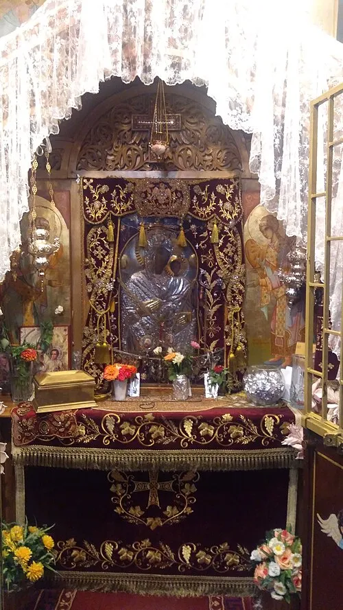 Panagia Eleousa Attraction, Domokos24 km N
Sources & licences
Data last updated: · 2 independent sources