Akropotamiá
Local name: Ακροποταμιά
Located in Georgios Karaiskakis, Nomós Ártas Coordinates: 39°10′01″ N 21°12′00″ E
- Population
- 49
- 49
- Elevation
- 362 m
- above sea level
- Local time
- UTC+02:00
- Europe/Athens · UTC+02:00
About Akropotamiá
Akropotamiá is a village. Location: Georgios Karaiskakis, Nomós Ártas. Population: 49. Elevation: 362 m.
In comparison
- No. 51 of 66 places in Georgios Karaiskakis by population
- Nearest larger town: Kleidí, 1 km S
Airports nearest to Akropotamiá
- Aktion National Airport (PVK) Preveza 46 km
- Ioannina King Pyrrhus National Airport (IOA) Ioannina 67 km
- Patras Araxos Agamemnon Airport (GPA) Patras 114 km
Straight-line distance; airports with scheduled flights only. Source: OurAirports (public domain).
Nearby attractions & nature
Everything nearby-
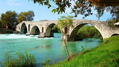 Bridge of Arta Landmark, Municipality of Arta20 km W
-
Moni Retha Attraction, Amfilochia14 km S
Sources & licences
Data last updated: · 2 independent sources