Nenita
Local name: Νένητα
Located in Chios, Chios Prefecture Coordinates: 38°14′20″ N 26°05′36″ E
- Population
- 903
- 903
- Elevation
- 146 m
- above sea level
- Local time
- UTC+02:00
- Europe/Athens · UTC+02:00
About Nenita
Nenita is a village. Location: Chios, Chios Prefecture. Population: 903. Elevation: 146 m.
Nenita (Greek: Νένητα) is a town in Ionia, Chios, Greece. It is located in the south-east Chios, 17 km south of Chios (town). Nenita belongs to Chios municipality and Ionia municipal unit.
Read more on Wikipedia Text: Wikipedia contributors · CC BY-SA 4.0 · shortened
In comparison
- No. 7 of 105 places in Chios by population
- Nearest larger town: Kalimasia, 6 km N
- 2 sights and natural places within 10 km Aghia Matrona, Mavra Volia
Airports nearest to Nenita
- Chios Island National Airport (JKH) Chios Island 12 km
- Adnan Menderes International Airport (ADB) Gaziemir 93 km
- Samos Airport (SMI) Samos Island 94 km
Straight-line distance; airports with scheduled flights only. Source: OurAirports (public domain).
Nearby attractions & nature
Everything nearby-
Aghia Matrona Attraction, Chios4.5 km N
-
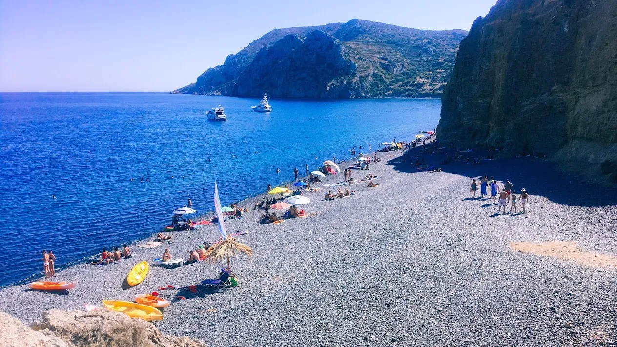 Mavra Volia Beach, Chios Prefecture8.7 km SW
-
Vroulidhia Beach, Chios12 km SW
-
Karinda Beach, Chios13 km W
-
Cape Pirghos Natural site, Chios22 km NW
-
Sügünkaya Lighthouse Landmark, İzmir Province11 km NE
Sources & licences
Data last updated: · 2 independent sources