Angariónes
Local name: Αγκαρυώνες
Located in Lemnos, Lesbos Coordinates: 39°53′45″ N 25°10′51″ E
- Population
- 110
- 110
- Elevation
- 40 m
- above sea level
- Local time
- UTC+02:00
- Europe/Athens · UTC+02:00
About Angariónes
Angariónes is a village. Location: Lemnos, Lesbos. Population: 110. Elevation: 40 m.
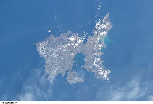
Agkaryones (Greek: Αγκαρυώνες, before 1940: Αγγαριώνες - Angariones) is a village in the Greek island of Lemnos, part of the municipal unit Nea Koutali. It is situated in the western part of the island, 1.5 km north of Portianou, 2 km west of Nea Koutali, 4 km northeast of Kontias, 4 km west of the Lemnos Airport and 10 km east of Myrina.
Read more on Wikipedia Text: Wikipedia contributors · CC BY-SA 4.0 · shortened
In comparison
- No. 20 of 23 places in Lemnos by population
- Nearest larger town: Vounaria, 1 km SE
- 2 sights and natural places within 10 km Panagia Kakaviotissa, Ispatho Island
Nearby attractions & nature
Everything nearby-
Panagia Kakaviotissa Attraction, Lemnos7.2 km SW
-
Ispatho Island Island, Lesbos7.5 km E
-
Agios Georgios Attraction, Lemnos11 km E
-
 Nisída Siderítis Island, Lesbos15 km N
Sources & licences
Data last updated: · 2 independent sources