Atsicholos
Local name: Ατσίχολος
Located in Megalopoli, Arcadia Coordinates: 37°31′41″ N 22°01′42″ E
- Population
- 236
- 236
- Elevation
- 475 m
- above sea level
- Local time
- UTC+02:00
- Europe/Athens · UTC+02:00
About Atsicholos
Atsicholos is a village. Location: Megalopoli, Arcadia. Population: 236. Elevation: 475 m.
Atsicholos (Greek: Ατσίχολος) is a mountain village in the municipal unit Gortyna, Arcadia, Greece. It is considered a traditional settlement which is situated on a mountain slope above the right bank of the river Lousios, near its confluence with the Alfeios. It is 2 km east of Vlachorraptis, 4 km west of Elliniko and 5 km north of Karytaina. The village has significant Byzantine-era remains, and sights include the local Church of St. Athanasios, a laurel forest and the nearby monastery of Panagia Kalamiou.
Read more on Wikipedia Text: Wikipedia contributors · CC BY-SA 4.0 · shortened
In comparison
- No. 4 of 65 places in Megalopoli by population
- Nearest larger town: Dimitsána, 8 km N
Airports nearest to Atsicholos
- Kalamata Airport (KLX) Kalamata 51 km
- Patras Araxos Agamemnon Airport (GPA) Patras 87 km
- Zakynthos International Airport "Dionysios Solomos" (ZTH) Zakynthos 104 km
Straight-line distance; airports with scheduled flights only. Source: OurAirports (public domain).
Nearby attractions & nature
Everything nearby-
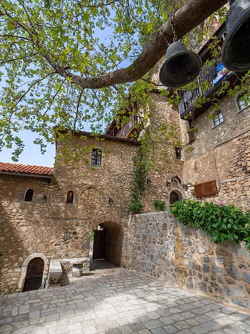 Moni Eamylianon Attraction, Gortynia3.6 km NE
-
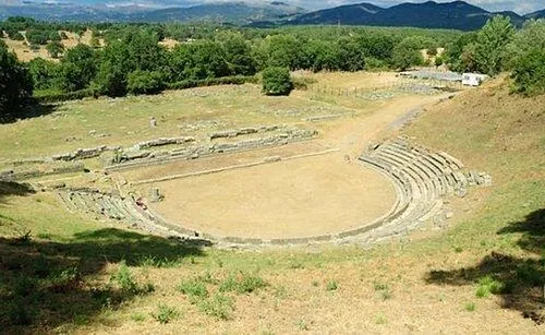 Ancient Theater of Megalopolis Historic site, Megalopoli16 km SE
Sources & licences
Data last updated: · 2 independent sources