Kotílion
Local name: Κοτύλι
Located in Megalopoli, Arcadia Coordinates: 37°28′24″ N 21°59′42″ E
- Population
- 58
- 58
- Elevation
- 810 m
- above sea level
- Local time
- UTC+02:00
- Europe/Athens · UTC+02:00
About Kotílion
Kotílion is a village. Location: Megalopoli, Arcadia. Population: 58. Elevation: 810 m.
Kotylio (Greek: Κοτύλιο, also Κωτίλιο - Kotilio) is a village and a community in the municipal unit Gortyna, southwest Arcadia, Greece. It is situated on the northeastern slope of Mount Lykaion on a height of ca. 900 m, 3 km from the border with Elis. It is 4 km west of Karytaina, 6 km southeast of Theisoa, 8 km east of Andritsaina and 15 km northwest of Megalopoli. The community includes the small villages Palatos and Strongylo.
Read more on Wikipedia Text: Wikipedia contributors · CC BY-SA 4.0 · shortened
In comparison
- No. 29 of 65 places in Megalopoli by population
- Nearest larger town: Strongilón, 2 km E
Nearby attractions & nature
Everything nearby-
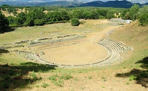 Ancient Theater of Megalopolis Historic site, Megalopoli14 km SE
-
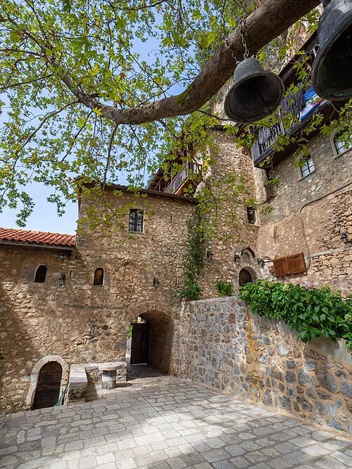 Moni Eamylianon Attraction, Gortynia10 km NE
Sources & licences
Data last updated: · 2 independent sources