Makrýsi
Local name: Μακρύσι
Located in Megalopoli, Arcadia Coordinates: 37°24′41″ N 22°09′57″ E
- Population
- 312
- 312
- Elevation
- 504 m
- above sea level
- Local time
- UTC+02:00
- Europe/Athens · UTC+02:00
About Makrýsi
Makrýsi is a village. Location: Megalopoli, Arcadia. Population: 312. Elevation: 504 m.
Makrysi (Greek: Μακρύσι, before 1927: Σιάλεσι - Sialesi) is a village and a community in the municipality of Megalopoli, Arcadia, Greece. It is situated on a hillside on the left bank of the river Elissonas, at 496 m elevation. It is 3 km northwest of Mallota and 3 km northeast of Megalopoli town centre. The community consists of the villages Makrysi and Kato Makrysi. Kato Makrysi is situated at 450 m elevation. Zacharias Barbitsiotis, an anti-Ottoman insurgent defeated the Turks in Sialesi in the 1780s.
Read more on Wikipedia Text: Wikipedia contributors · CC BY-SA 4.0 · shortened
In comparison
- No. 3 of 65 places in Megalopoli by population
- Nearest larger town: Megalopolis, 2 km SW
Nearby attractions & nature
Everything nearby-
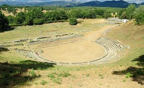 Ancient Theater of Megalopolis Historic site, Megalopoli3.4 km W
-
Moni Ambelaki Attraction, Megalopoli17 km S
-
Ierá Moní Agíou Nikoláou Kaltezón Attraction, Tripoli16 km SE
-
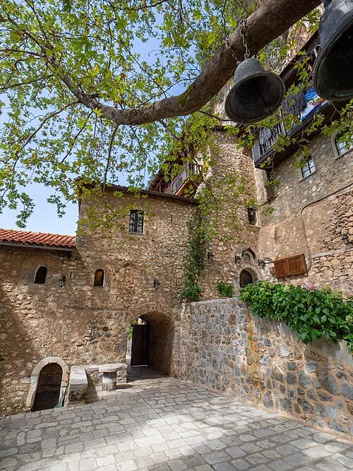 Moni Eamylianon Attraction, Gortynia19 km NW
Sources & licences
Data last updated: · 2 independent sources