Alea
Local name: Δημοτική Ενότητα Αλέας
Located in Argos-Mykines, Argolida Coordinates: 37°45′09″ N 22°25′35″ E
- Population
- 439
- 439
- Elevation
- 791 m
- above sea level
- Local time
- UTC+02:00
- Europe/Athens · UTC+02:00
About Alea
Alea is a village. Location: Argos-Mykines, Argolida. Population: 439. Elevation: 791 m.
Alea (Greek: Αλέα, before 1928: Μπουγιάτι – Bougiati) is a village and a former community in Argolis, Peloponnese, Greece. Since the 2011 local government reform it is part of the municipality Argos-Mykines, of which it is a municipal unit. The municipal unit has an area of 143.206 km2. The seat of the community was Skoteini. Alea is situated in the mountainous northwestern part of Argolis, 5 km southeast of Kandila, 12 km northwest of Lyrkeia, 14 km northeast of Levidi and 27 km north of Tripoli.
Read more on Wikipedia Text: Wikipedia contributors · CC BY-SA 4.0 · shortened
At a glance
- Area
- 143 km²
Source: Wikidata
In comparison
- No. 18 of 74 places in Argos-Mykines by population
- Nearest larger town: Kandila, 5 km NW
Nearby attractions & nature
Everything nearby-
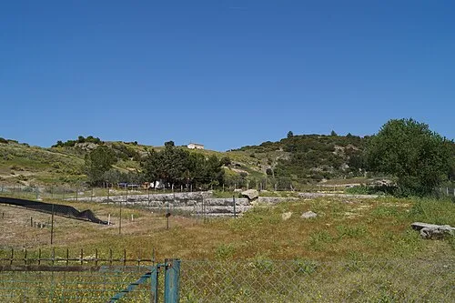 Phlius Historic site, Nemea22 km NE
-
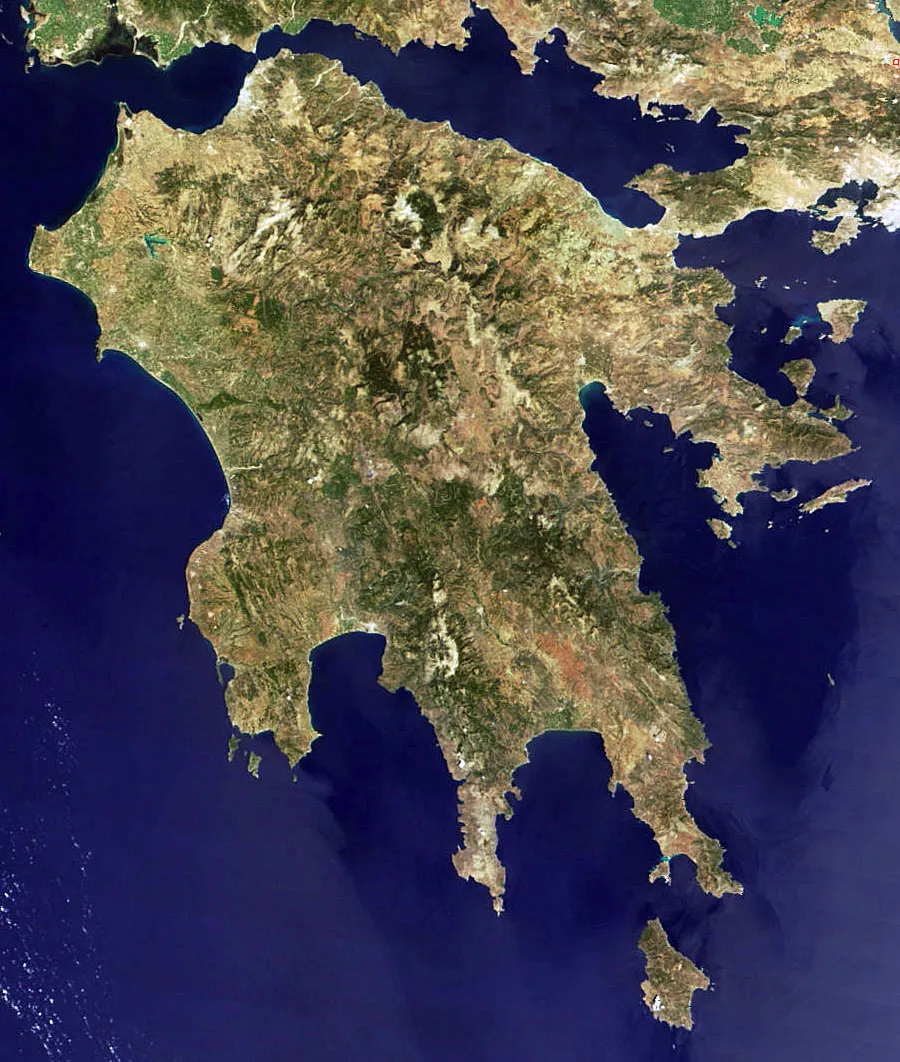 Peloponnese Island, Tripoli14 km S
Sources & licences
Data last updated: · 2 independent sources