Chora
Local name: Χώρα
Located in Pylos-Nestoras, Messenia Coordinates: 37°03′04″ N 21°43′01″ E
- Population
- 2,609
- 2.6K
- Elevation
- 285 m
- above sea level
- Local time
- UTC+02:00
- Europe/Athens · UTC+02:00
About Chora
Chora is a village. Location: Pylos-Nestoras, Messenia. Population: 2,609. Elevation: 285 m.
Chora is a small town in the western part of Messenia, in the Peloponnese region of southern Greece. With a population of 2,609 inhabitants as of 2021, it is the largest settlement in the municipality of Pylos-Nestoras and the sixth largest settlement in Messenia. Chora is renowned for its long history. It houses an archeological museum and it is located 3 kilometers away from the Palace of Nestor.
Read more on Wikipedia Text: Wikipedia contributors · CC BY-SA 4.0 · shortened
At a glance
- Area
- 27.3 km²
Source: Wikidata
In comparison
- No. 3 of 23 places in Pylos-Nestoras by population
- Nearest larger town: Gargaliánoi, 7 km W
Airports nearest to Chora
- Kalamata Airport (KLX) Kalamata 28 km
- Zakynthos International Airport "Dionysios Solomos" (ZTH) Zakynthos 107 km
- Patras Araxos Agamemnon Airport (GPA) Patras 125 km
Straight-line distance; airports with scheduled flights only. Source: OurAirports (public domain).
Nearby attractions & nature
Everything nearby-
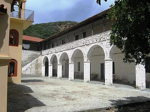 Moni Voulkanou Attraction, Messene24 km NE
-
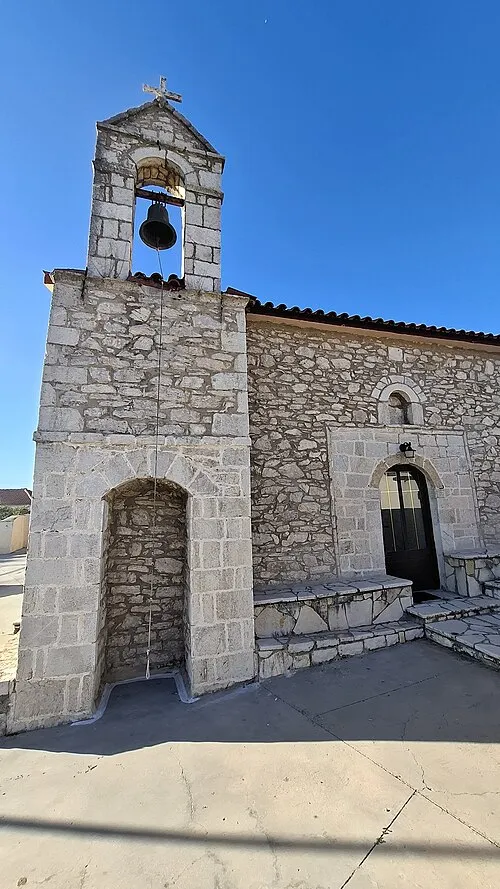 Agios Georgios Attraction, Messene22 km SE
Sources & licences
Data last updated: · 2 independent sources