Kouris
Local name: Κουρής
Located in West Mani, Messenia Coordinates: 36°58′08″ N 22°10′46″ E
- Population
- 18
- 18
- Elevation
- 284 m
- above sea level
- Local time
- UTC+02:00
- Europe/Athens · UTC+02:00
About Kouris
Kouris is a village. Location: West Mani, Messenia. Population: 18. Elevation: 284 m.
In comparison
- No. 44 of 53 places in West Mani by population
- Nearest larger town: Charavgi, 1 km N
- 6 sights and natural places within 10 km Touristiko beach, Akrogiali beach
Airports nearest to Kouris
- Kalamata Airport (KLX) Kalamata 18 km
- Zakynthos International Airport "Dionysios Solomos" (ZTH) Zakynthos 144 km
- Patras Araxos Agamemnon Airport (GPA) Patras 147 km
Straight-line distance; airports with scheduled flights only. Source: OurAirports (public domain).
Nearby attractions & nature
Everything nearby-
Touristiko beach Beach, Kalamata2.9 km NW
-
Akrogiali beach Beach, West Mani3.5 km SW
-
Santova beach Beach, West Mani3.9 km SW
-
Moni Dimiovis Attraction, Kalamata8.2 km N
-
Moni Profiti Ioil Attraction, Kalamata8.7 km NW
-
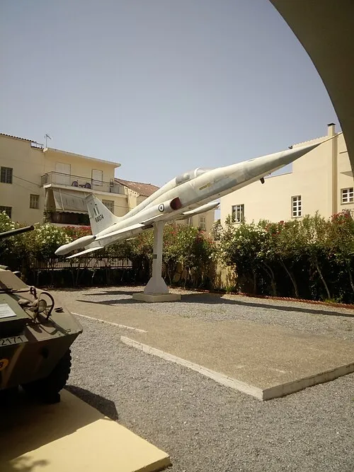 Military Museum Museum, Kalamata10 km NW
Sources & licences
Data last updated: · 2 independent sources