Nerómyloi
Local name: Νερόμυλοι
Located in Agia, Nomós Larísis Coordinates: 39°42′54″ N 22°43′57″ E
- Population
- 256
- 256
- Elevation
- 200 m
- above sea level
- Local time
- UTC+02:00
- Europe/Athens · UTC+02:00
About Nerómyloi
Nerómyloi is a village. Location: Agia, Nomós Larísis. Population: 256. Elevation: 200 m.
Neromyloi (Greek: Νερόμυλοι, Greek pronunciation: [ne'ɾomili]) is a village and a community of the Agia municipality. The community of Neromyloi covers an area of 4.698 km2.
Read more on Wikipedia Text: Wikipedia contributors · CC BY-SA 4.0 · shortened
In comparison
- No. 9 of 19 places in Agia by population
- Nearest larger town: Agia, 2 km E
Airports nearest to Nerómyloi
- Nea Anchialos National Airport (VOL) Nea Anchialos 55 km
- Skiathos Island National Airport (JSI) Skiathos 89 km
- Thessaloniki Macedonia International Airport (SKG) Thessaloniki 92 km
Straight-line distance; airports with scheduled flights only. Source: OurAirports (public domain).
Nearby attractions & nature
Everything nearby-
Stomio Beach Beach, Agia17 km N
-
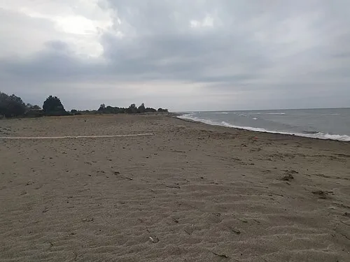 Kouloura Beach Beach, Nomós Larísis25 km N
Sources & licences
Data last updated: · 2 independent sources