Káto Achaḯa
Local name: Κάτω Αχαΐα
Located in West Achaea, Achaea Coordinates: 38°09′00″ N 21°33′00″ E
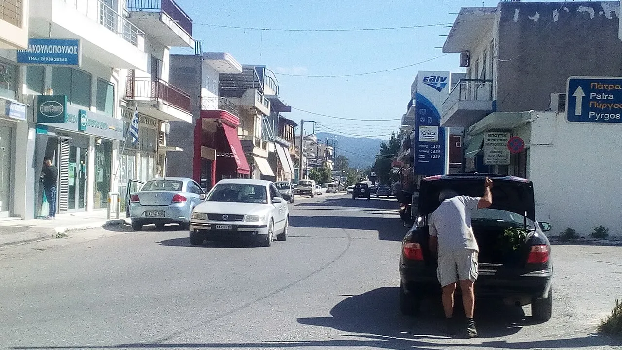
- Population
- 5,752
- 5.8K
- Elevation
- 0 m
- above sea level
- Local time
- UTC+02:00
- Europe/Athens · UTC+02:00
About Káto Achaḯa
Káto Achaḯa is a town. Location: West Achaea, Achaea. Population: 5,752. Elevation: 0 m.
Kato Achaia (Greek: Κάτω Αχαΐα) is a town and a community in Achaea, West Greece, Greece. Since the 2011 local government reform it is part of the municipality West Achaea, of which it is the seat of administration. The community Kato Achaia consists of the town Kato Achaia and the villages Alykes, Manetaiikia, Paralia Kato Achaias and Piso Sykea. Nearby are the ruins of the ancient city of Dyme. Kato Achaia is located 1 km (0.6 mi) south of the Gulf of Patras and 20 km (12 mi) southwest of Patras.
Read more on Wikipedia Text: Wikipedia contributors · CC BY-SA 4.0 · shortened
In comparison
- Most populous of 25 places in West Achaea
- Nearest larger town: West Achaea, 10 km S
Nearby attractions & nature
Everything nearby-
Lakopetra Beach Beach, West Achaea6.4 km NW
-
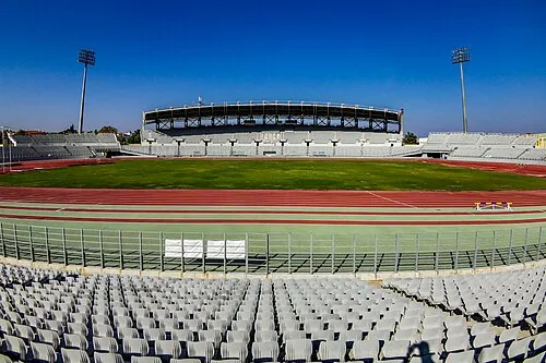 Pampeloponnisiako Stadium Landmark, Patras19 km NE
-
Nisída Vasilikó Island, West Greece22 km N
-
Nisída Sáranta Island, West Greece22 km NW
Sources & licences
Data last updated: · 2 independent sources