Sklithro
Local name: Σκλήθρο
Located in Amyntaio, Florina Coordinates: 40°37′19″ N 21°30′17″ E
- Population
- 420
- 420
- Elevation
- 675 m
- above sea level
- Local time
- UTC+02:00
- Europe/Athens · UTC+02:00
About Sklithro
Sklithro is a village. Location: Amyntaio, Florina. Population: 420. Elevation: 675 m.
Sklithro (Greek: Σκλήθρο, before 1927: Ζέλενιτς – Zelenits; Bulgarian and Macedonian: Зеленѝче, Zelenìche) is a small village located about 40 kilometres southwest of Florina, the capital of Florina regional unit in northwestern Greece. It is situated in a valley at the foot of the Vitsi mountain range halfway along the Amyntaio – Kastoria local road. Sklithro is currently inhabited by 420 permanent residents (2021 census).
Read more on Wikipedia Text: Wikipedia contributors · CC BY-SA 4.0 · shortened
In comparison
- No. 13 of 29 places in Amyntaio by population
- Nearest larger town: Lechovo, 4 km S
Nearby attractions & nature
Everything nearby-
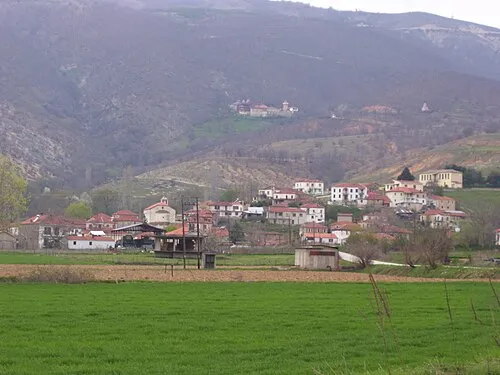 Moní Agíon Anargyron Attraction, Kastoria11 km SW
-
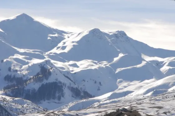 Óros Vérno Mountain, Kastoria14 km NW
-
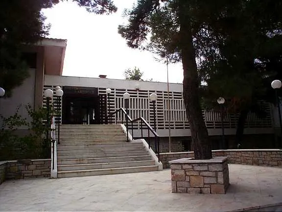 Byzantine Museum of Kastoria Museum, Kastoria23 km SW
-
Dimotiko Stadio Ptolemaidas Landmark, Eordaia19 km SE
Sources & licences
Data last updated: · 2 independent sources