Lénárddaróc
Located in Borsod-Abauj Zemplen county, Hungary Coordinates: 48°09′00″ N 20°23′00″ E
- Population
- 237
- 237
- Elevation
- 274 m
- above sea level
- Local time
- UTC+01:00
- Europe/Budapest · UTC+01:00
About Lénárddaróc
Lénárddaróc is a village. Location: Borsod-Abauj Zemplen county, Hungary. Population: 237. Elevation: 274 m.
In comparison
- No. 134 of 148 places in Borsod-Abauj Zemplen county by population
- Nearest larger town: Csokvaomány, 2 km N
Nearby attractions & nature
Everything nearby-
Szána-bérc Mountain, Heves County6.7 km SE
-
Monosa Mountain, Borsod-Abauj Zemplen county11 km W
-
Ózd Ghetto Historic site, Borsod-Abauj Zemplen county11 km NW
-
Diósgyőr Ghetto Historic site, Borsod-Abauj Zemplen county23 km E
-
Berva Mountain, Heves County19 km S
-
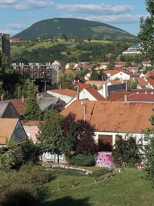 Nagy-Eged Mountain, Heves County24 km S
Sources & licences
Data last updated: