Lillafüred
Located in Borsod-Abauj Zemplen county, Hungary Coordinates: 48°06′00″ N 20°38′00″ E
- Population
- 481
- 481
- Elevation
- 526 m
- above sea level
- Local time
- UTC+01:00
- Europe/Budapest · UTC+01:00
About Lillafüred
Lillafüred is a village. Location: Borsod-Abauj Zemplen county, Hungary. Population: 481. Elevation: 526 m.
Lillafüred (Miskolc-Lillafüred) is a town in Borsod-Abaúj-Zemplén county, Hungary. Officially, it is a part of Miskolc, though it is almost 12 kilometres away from the city, in the Bükk Mountains. Lillafüred is a tourist resort.
Read more on Wikipedia Text: Wikipedia contributors · CC BY-SA 4.0 · shortened
In comparison
- No. 117 of 148 places in Borsod-Abauj Zemplen county by population
- Nearest larger town: Bükkszentkereszt, 4 km S
- 2 sights and natural places within 10 km Gulicska, Diósgyőr Ghetto
Nearby attractions & nature
Everything nearby-
Gulicska Mountain, Hungary1.2 km E
-
Diósgyőr Ghetto Historic site, Borsod-Abauj Zemplen county4.2 km E
-
Miskolc Ghetto Historic site, Borsod-Abauj Zemplen county11 km E
-
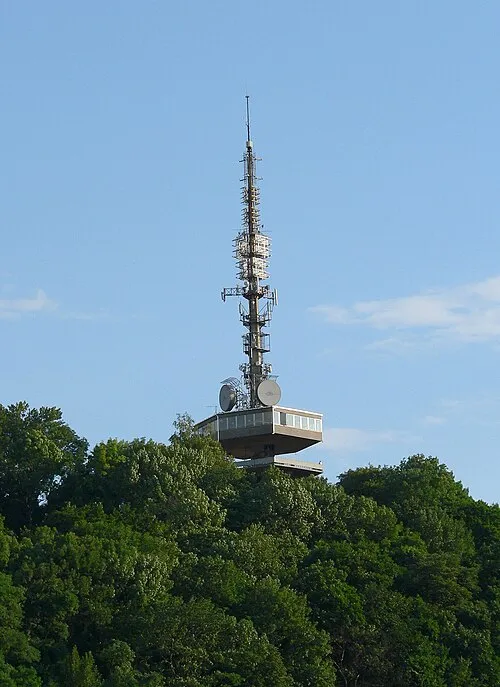 Avas Mountain, Hungary11 km E
-
Varnyas Mountain, Borsod-Abauj Zemplen county17 km SE
-
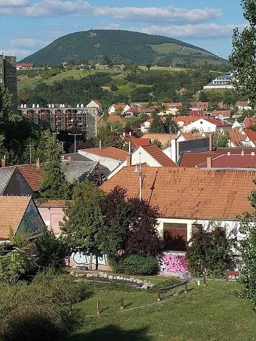 Nagy-Eged Mountain, Heves County25 km SW
Sources & licences
Data last updated: · 2 independent sources