Erzsébetváros
Located in Budapest VII., Budapest Coordinates: 47°30′07″ N 19°04′20″ E
- Population
- 62,000
- 62K
- Elevation
- 114 m
- above sea level
- Local time
- UTC+01:00
- Europe/Budapest · UTC+01:00
About Erzsébetváros
Erzsébetváros is a neighbourhood. Location: Budapest VII., Budapest. Population: 62,000.
Erzsébetváros (Hungarian pronunciation: [ˈɛrʒeːbɛtvaːroʃ]; German: Elisabethstadt, lit. Elizabethtown) is the 7th district of Budapest, situated on the Pest side of the Danube. The inner half of the district was the historic Jewish quarter of Pest. The Dohány Street Synagogue, the largest functioning synagogue in Europe, is located in this district. Currently it is the most densely populated district of Budapest with 23,630 inhabitants per km2.
Read more on Wikipedia Text: Wikipedia contributors · CC BY-SA 4.0 · shortened
At a glance
- Built
- 1873
- Area
- 2.1 km²
Source: Wikidata
In comparison
- Nearest larger town: Pest, 1 km E
- 21 sights and natural places within 10 km St. Stephen's Basilica, Museum of Fine Arts, Budapest
Nearby attractions & nature
Everything nearby-
St. Stephen's Basilica Attraction, Budapest1.4 km W
-
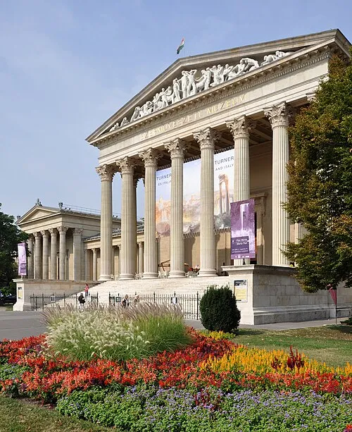 Museum of Fine Arts, Budapest Museum, Budapest1.6 km N
-
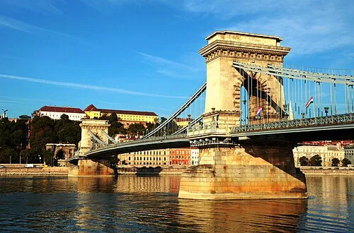 Széchenyi Chain Bridge Landmark, Budapest2.2 km W
-
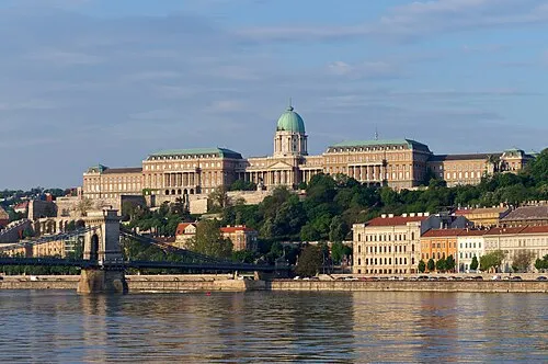 Buda Castle Historic site, Budapest2.5 km W
-
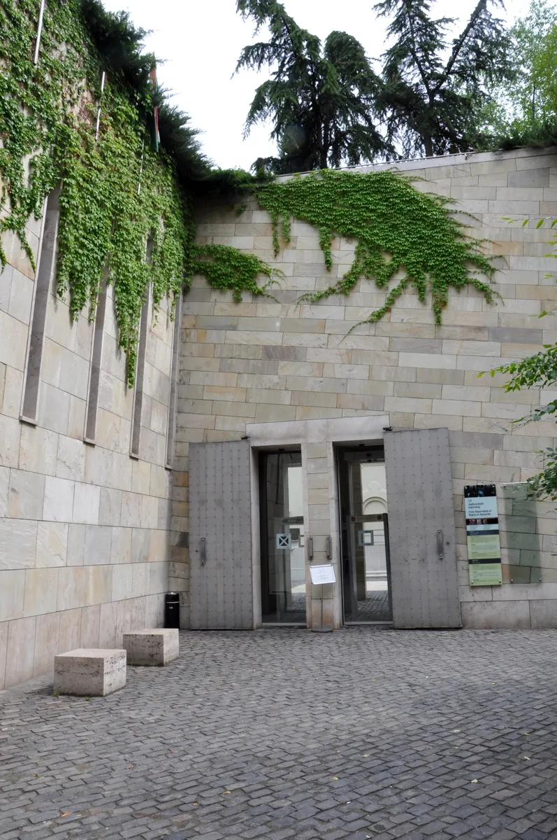 Holocaust Memorial Center Museum, Budapest2.1 km S
-
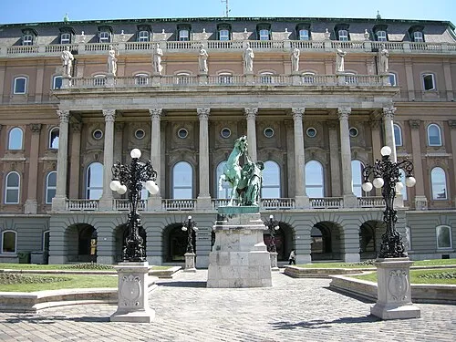 Hungarian National Gallery Museum, Budapest2.6 km W
Sources & licences
Data last updated: · 2 independent sources