Budapest VIII. kerület
Located in Budapest VIII., Budapest Coordinates: 47°29′21″ N 19°04′12″ E
- Population
- 82,222
- 82.2K
- Elevation
- 115 m
- above sea level
- Local time
- UTC+01:00
- Europe/Budapest · UTC+01:00
About Budapest VIII. kerület
Budapest VIII. kerület is a neighbourhood. Location: Budapest VIII., Budapest. Population: 82,222.
Józsefváros (Hungarian pronunciation: [ˈjoːʒɛfvaːroʃ], German: Josefstadt) is the 8th district of Budapest, Hungary. It is the part of the city centre in the wider sense as one of the 18th–19th century older suburbs, close to Belváros.
Read more on Wikipedia Text: Wikipedia contributors · CC BY-SA 4.0 · shortened
At a glance
- Built
- 1873
- Area
- 6.8 km²
Source: Wikidata
In comparison
- Nearest larger town: Pest, 2 km NE
- 21 sights and natural places within 10 km Holocaust Memorial Center, Hungarian Natural History Museum
Nearby attractions & nature
Everything nearby-
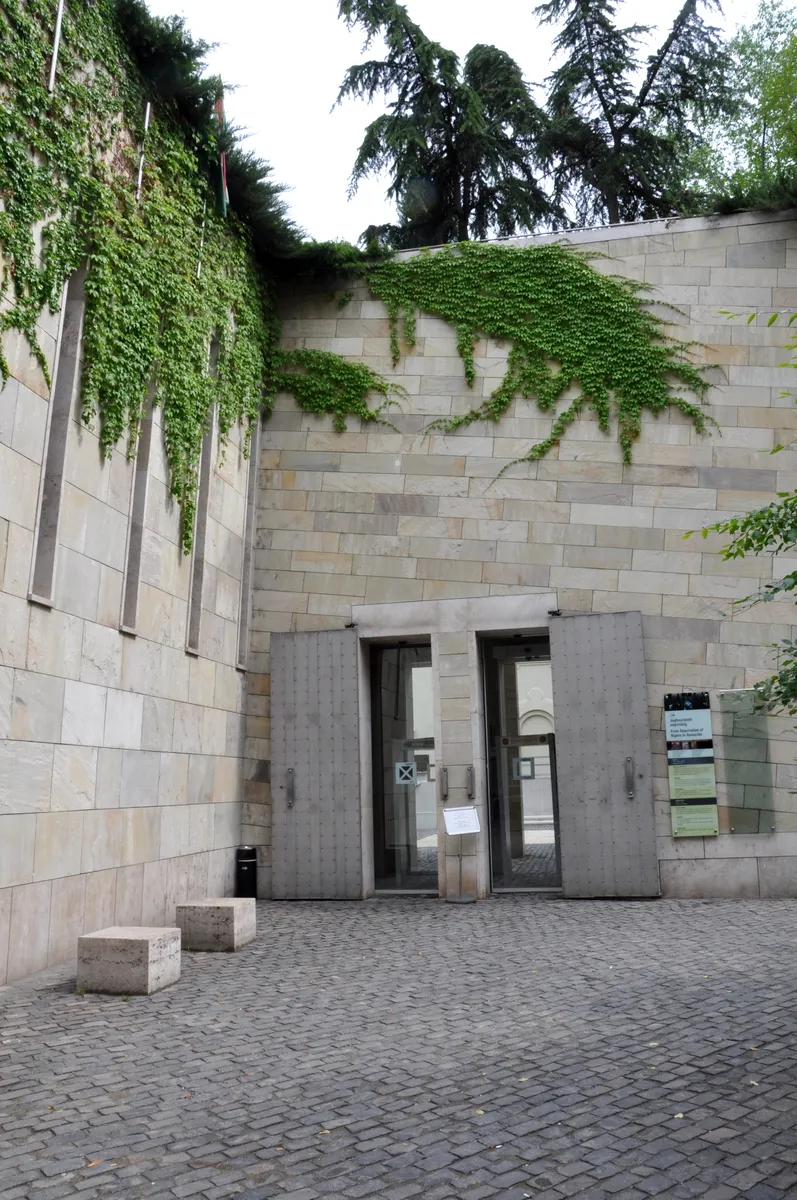 Holocaust Memorial Center Museum, Budapest0.7 km S
-
St. Stephen's Basilica Attraction, Budapest1.8 km NW
-
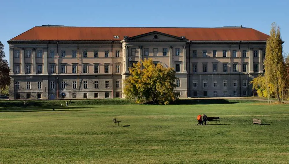 Hungarian Natural History Museum Museum, Budapest1.4 km SE
-
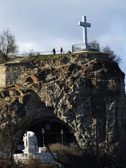 Gellért Hill Cave Attraction, Budapest1.4 km W
-
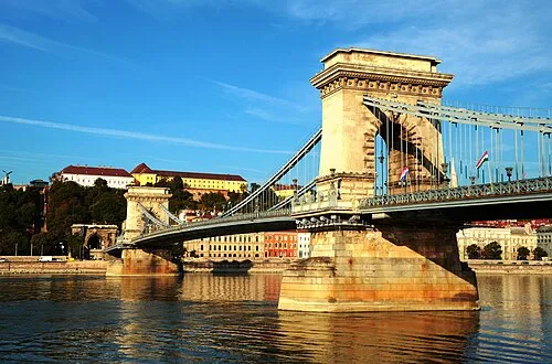 Széchenyi Chain Bridge Landmark, Budapest2.3 km NW
-
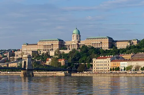 Buda Castle Historic site, Budapest2.4 km W
Sources & licences
Data last updated: · 2 independent sources