Sándorfalva
Located in Csongrád megye, Hungary Coordinates: 46°21′39″ N 20°05′56″ E
- Population
- 7,738
- 7.7K
- Elevation
- 83 m
- above sea level
- Local time
- UTC+01:00
- Europe/Budapest · UTC+01:00
About Sándorfalva
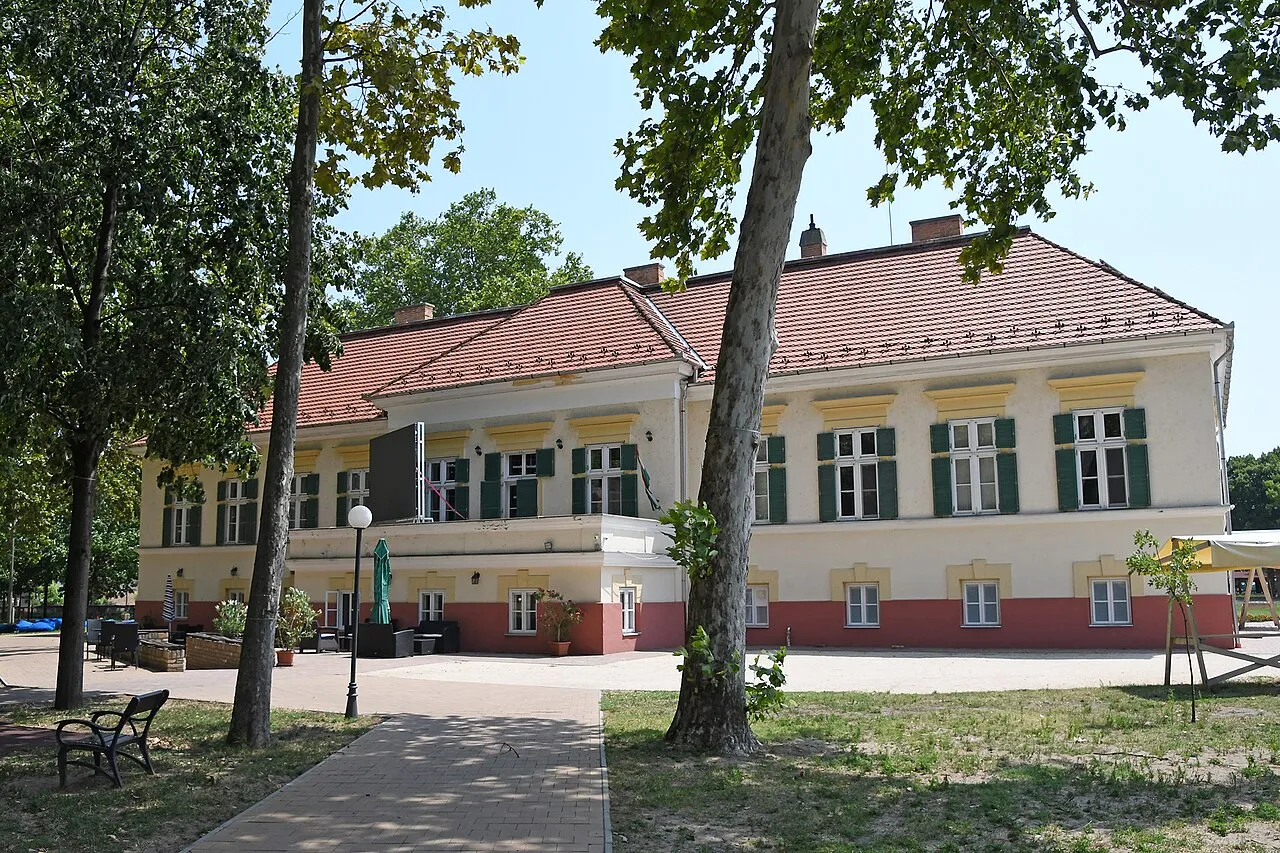
Sándorfalva is a town. Location: Csongrád megye, Hungary. Population: 7,738. Elevation: 83 m.
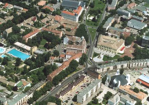
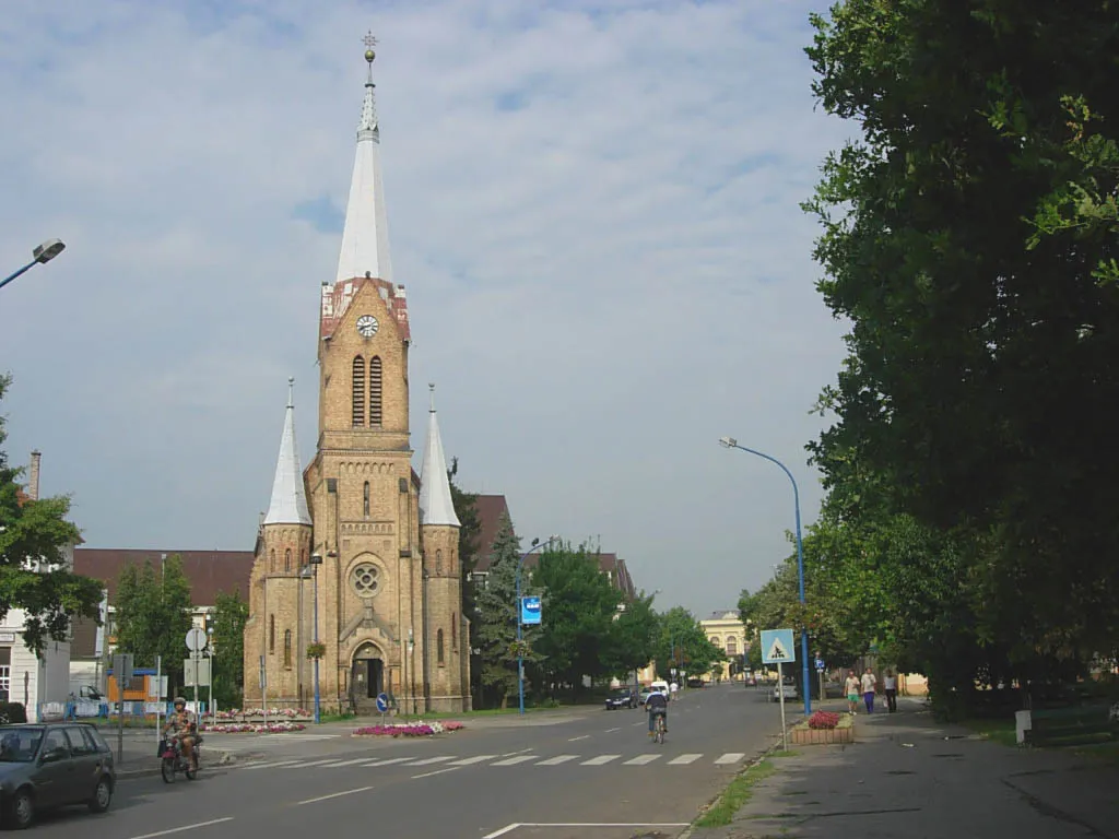
Sándorfalva is a town in Csongrád-Csanád County, in the Southern Great Plain region of southern Hungary.
Read more on Wikipedia Text: Wikipedia contributors · CC BY-SA 4.0 · shortened
At a glance
- Area
- 55.8 km²
Source: Wikidata
In comparison
- No. 6 of 41 places in Csongrád megye by population
- Nearest larger town: Szeged, 13 km S
Nearby attractions & nature
Everything nearby-
Kiskundorozsma Ghetto Historic site, Csongrád megye9 km S
-
Szeged Ghetto Historic site, Csongrád megye13 km SE
-
Kistelek Ghetto Historic site, Csongrád megye15 km NW
-
Mindszent Ghetto Historic site, Csongrád megye21 km N
Other cities and towns in Csongrád megye
Sources & licences
Data last updated: · 2 independent sources