Sárbogárd
Located in Sárbogárdi Járás, Fejér Coordinates: 46°53′13″ N 18°37′13″ E
- Population
- 13,424
- 13.4K
- Elevation
- 107 m
- above sea level
- Local time
- UTC+01:00
- Europe/Budapest · UTC+01:00
About Sárbogárd
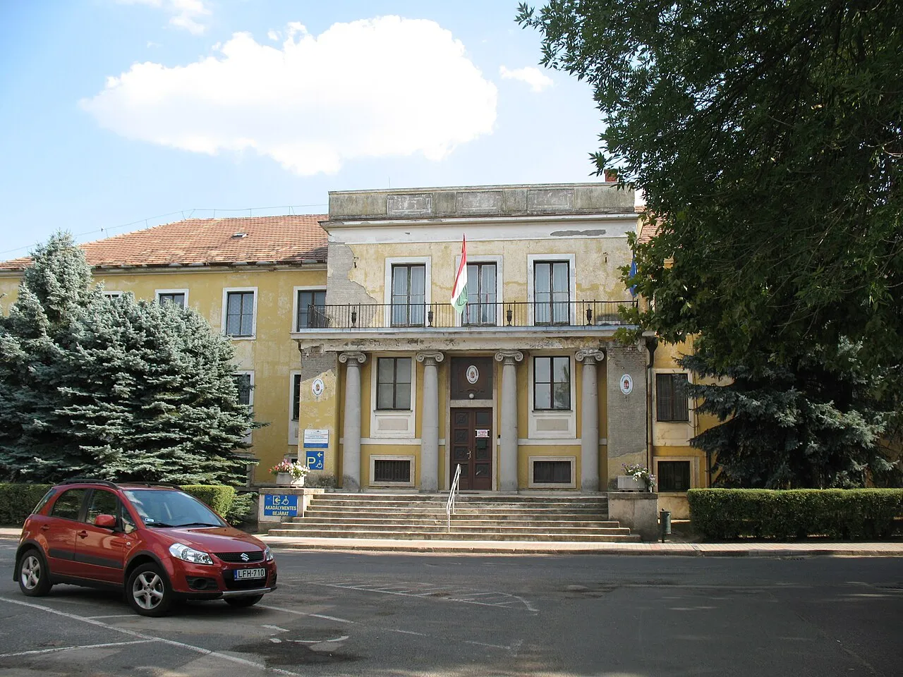
Sárbogárd is a town. Location: Sárbogárdi Járás, Fejér. Population: 13,424. Elevation: 107 m.
Sárbogárd (German: Bochart) is a town in Fejér county, Hungary. The town is at the intersection of important railroad routes in Hungary: this is where electrified routes from Balaton and Pécs merge with non-electrified railways from Baja and Szekszárd. A double electrified track runs from Sárbogárd to Budapest allowing MÁV trains to provide quick access to the capital.
Read more on Wikipedia Text: Wikipedia contributors · CC BY-SA 4.0 · shortened
At a glance
- Area
- 189 km²
Source: Wikidata
In comparison
Nearby attractions & nature
Everything nearby-
Sárbogárd Ghetto Historic site, Fejér0.9 km S
-
Babaszon Mountain, Tolna County22 km S
-
Csillag Mountain, Fejér18 km N
-
Hardihegy Mountain, Fejér19 km SE
-
Dunaföldvár Ghetto Historic site, Tolna County24 km E
Sources & licences
Data last updated: · 2 independent sources