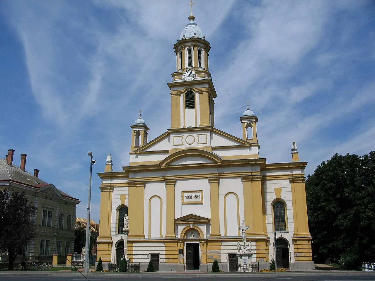
Kapuvár
Located in Győr-Moson-Sopron, Hungary Coordinates: 47°35′32″ N 17°01′44″ E
- Population
- 10,661
- 10.7K
- Elevation
- 124 m
- above sea level
- Local time
- UTC+01:00
- Europe/Budapest · UTC+01:00
About Kapuvár
Kapuvár is a city. Location: Győr-Moson-Sopron, Hungary. Population: 10,661. Elevation: 124 m.
Kapuvár (Hungarian pronunciation: [ˈkɒpuvaːr]; German: Kobrunn) is a small but ancient town of some 11,000 inhabitants in Győr-Moson-Sopron county, Hungary. The town is known for its thermal water which some believe has hydrotherapeutic properties. It is served by highway 85, and has a train station. It borders the Fertő-Hanság National Park, 15 kilometres (9 miles) from the border station of Pomogy.
Read more on Wikipedia Text: Wikipedia contributors · CC BY-SA 4.0 · shortened
At a glance
- Area
- 96 km²
Source: Wikidata
In comparison
- No. 5 of 58 places in Győr-Moson-Sopron by population
- Nearest larger town: Csorna, 17 km E
Nearby attractions & nature
Everything nearby-
Kapuvár Ghetto Historic site, Győr-Moson-Sopron0.9 km N
-
Szarvashely Mountain, Győr-Moson-Sopron14 km S
-
Farkashalom Mountain, Győr-Moson-Sopron21 km NE
-
Wörthübel Mountain, Wallern im Burgenland14 km NW
-
Landhübel Mountain, Wallern im Burgenland15 km N
-
Zwei Bühel Mountain, Pamhagen17 km NW
-
Kommassantenwiesen Natural site, Burgenland16 km N
-
Tierpark Pamhagen Attraction, Pamhagen18 km NW
Other cities and towns in Győr-Moson-Sopron
-
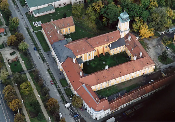 Csorna City, Győr-Moson-Sopron17 km E
-
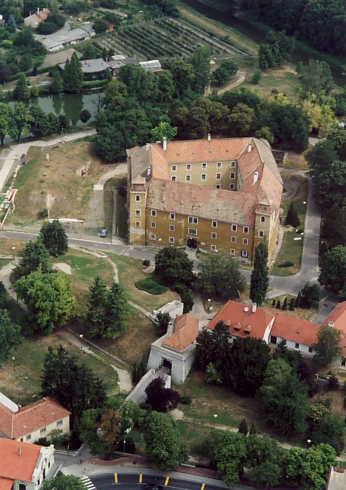 Mosonmagyaróvár City, Győr-Moson-Sopron36 km NE
-
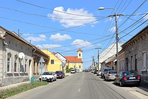 Jánossomorja Town, Győr-Moson-Sopron23 km N
-
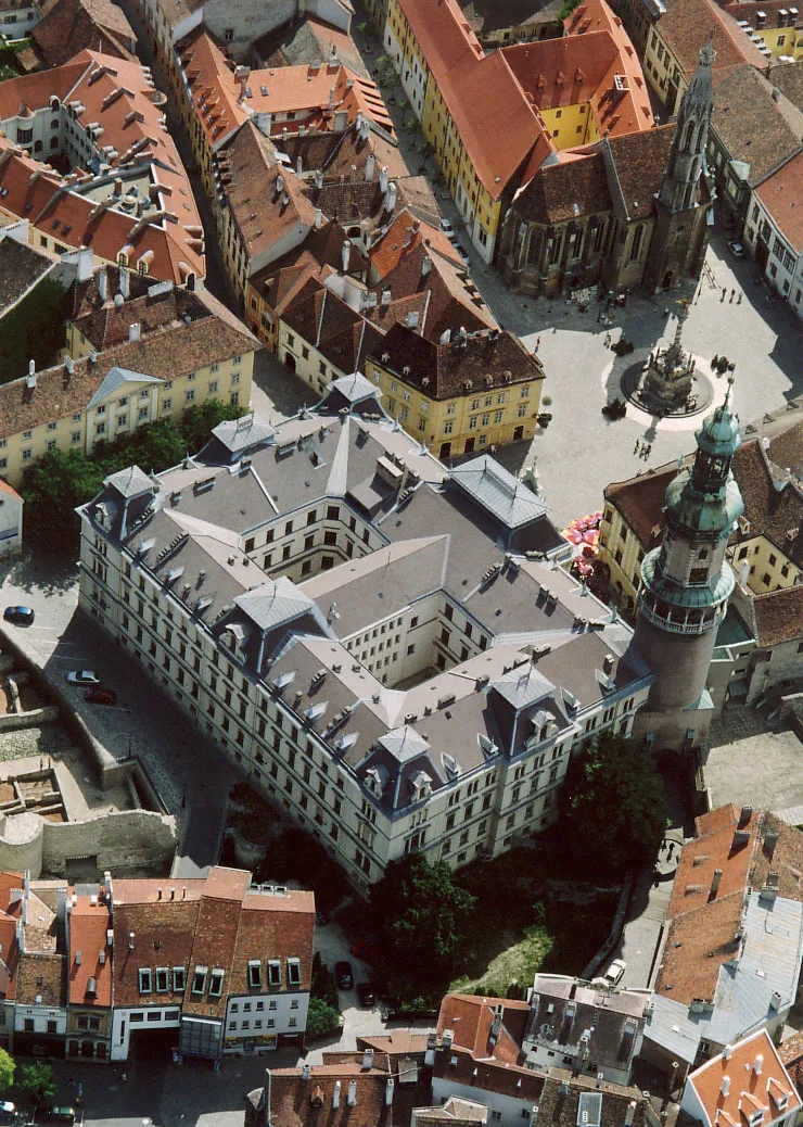 Sopron Town, Győr-Moson-Sopron35 km W
-
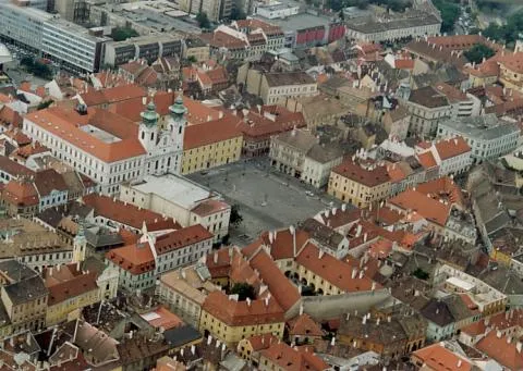 Győr City, Győr-Moson-Sopron47 km E
-
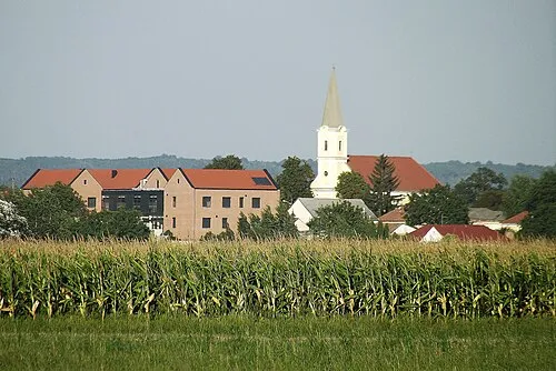 Tét City, Győr-Moson-Sopron37 km E
Sources & licences
Data last updated: · 2 independent sources