Sopronkőhida
Located in Győr-Moson-Sopron, Hungary Coordinates: 47°43′23″ N 16°37′18″ E
- Elevation
- 149 m
- above sea level
- Local time
- UTC+01:00
- Europe/Budapest · UTC+01:00
About Sopronkőhida
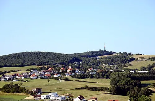
Sopronkőhida is a neighbourhood. Location: Győr-Moson-Sopron, Hungary.
Sopronkőhida is an area in Sopron, Győr–Moson–Sopron County, Hungary. It is 5 km south of the border with Austria.
Read more on Wikipedia Text: Wikipedia contributors · CC BY-SA 4.0 · shortened
In comparison
- Nearest larger town: Fertőrákos, 2 km E
- 6 sights and natural places within 10 km Sopron Ghetto, Zeisel Bach
Nearby attractions & nature
Everything nearby-
Sopron Ghetto Historic site, Győr-Moson-Sopron4.7 km S
-
Zeisel Bach River, Austria6.3 km S
-
Krippelberg Mountain, Schattendorf9.3 km W
-
Kogel Mountain, Oslip9.5 km N
-
St. Margarethener Seebad Lake, Burgenland8.6 km N
-
 Brenntenriegel Mountain, Sieggraben19 km W
Sources & licences
Data last updated: · 2 independent sources