Bátonyterenye
Located in Nógrád megye, Hungary Coordinates: 47°58′11″ N 19°50′27″ E
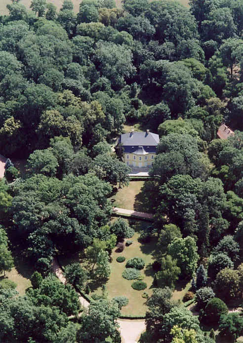
- Population
- 14,214
- 14.2K
- Elevation
- 223 m
- above sea level
- Local time
- UTC+01:00
- Europe/Budapest · UTC+01:00
About Bátonyterenye
Bátonyterenye is a city. Location: Nógrád megye, Hungary. Population: 14,214. Elevation: 223 m.
Bátonyterenye is a town in Nógrád County, Hungary, under the Mátra mountain range, beside the Zagyva river. As of 2022 census, it has a population of 11,296 (see Demographics). The town is located beside the (Nr. 81) Hatvan–Fiľakovo railway line and the main road 21. The M3 motorway is 42.6 km away. The city has two railway stations: Kisterenye in the north and Nagybátony in the south.
Read more on Wikipedia Text: Wikipedia contributors · CC BY-SA 4.0 · shortened
At a glance
- Built
- 1984
- Area
- 80.1 km²
Source: Wikidata
In comparison
- No. 2 of 126 places in Nógrád megye by population
- Nearest larger town: Salgótarján, 15 km N
- 3 sights and natural places within 10 km Kisterenye Ghetto, Lajszka
Nearby attractions & nature
Everything nearby-
Lajszka Mountain, Nógrád megye6.1 km E
-
Kisterenye Ghetto Historic site, Nógrád megye5.3 km N
-
Nyikom Mountain, Hungary8.8 km SW
-
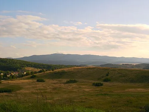 Mátra Mountain, Hungary13 km SE
-
Hármashatár-hegy Mountain, Nógrád megye13 km W
-
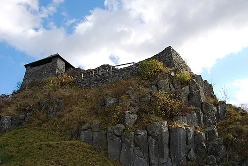 Salgó Mountain, Nógrád megye19 km N
-
Muzsla Mountain, Hungary11 km SW
-
Sombokor Mountain, Heves County15 km SE
Other cities and towns in Nógrád megye
-
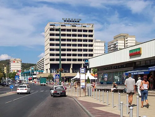 Salgótarján City, Nógrád megye15 km N
-
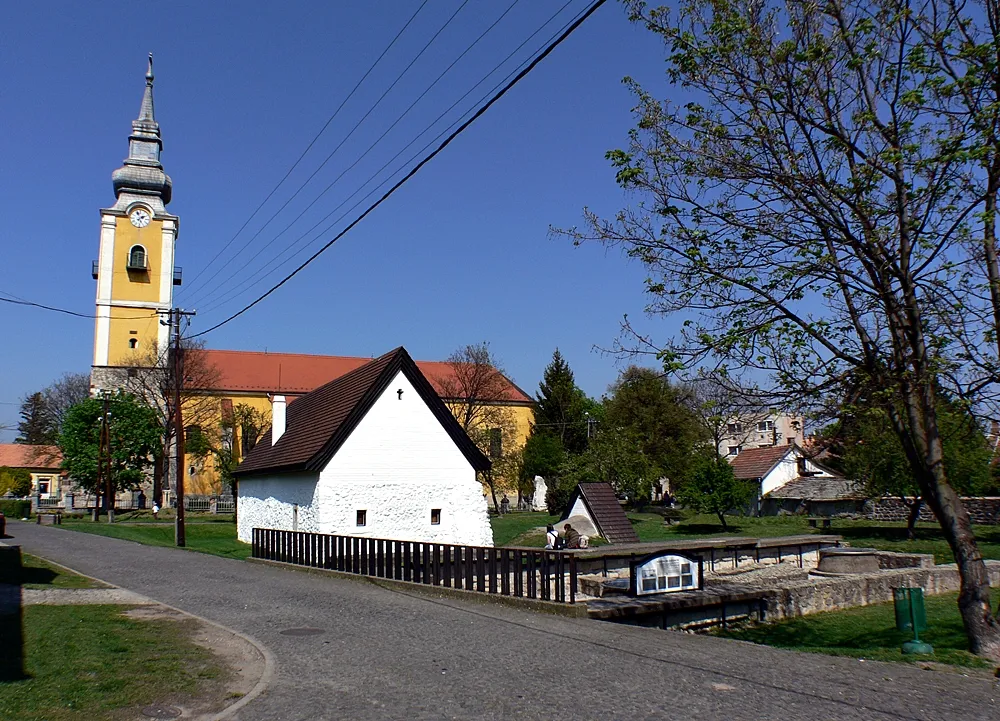 Pásztó City, Nógrád megye12 km SW
-
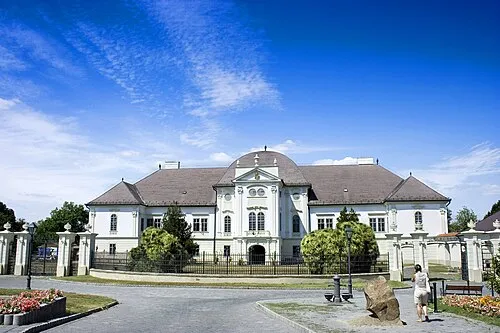 Szécsény City, Nógrád megye27 km NW
-
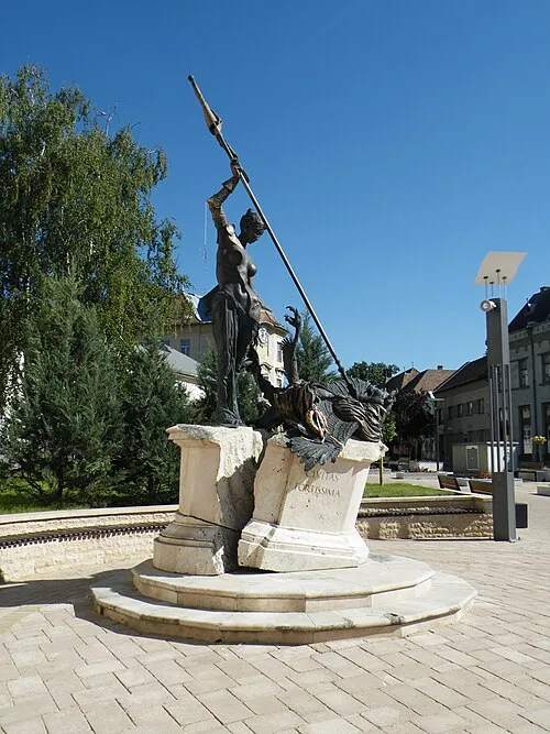 Balassagyarmat City, Nógrád megye42 km W
Sources & licences
Data last updated: · 2 independent sources