Magyargéc
Located in Nógrád megye, Hungary Coordinates: 48°04′59″ N 19°36′09″ E
- Population
- 899
- 899
- Elevation
- 191 m
- above sea level
- Local time
- UTC+01:00
- Europe/Budapest · UTC+01:00
About Magyargéc
Magyargéc is a village. Location: Nógrád megye, Hungary. Population: 899. Elevation: 191 m.
Magyargéc (Hungarian pronunciation: [ˈmɒɟɒrɡeːt͡s]) is a village in Nógrád County, Hungary with 788 inhabitants (2025).
Read more on Wikipedia Text: Wikipedia contributors · CC BY-SA 4.0 · shortened
At a glance
- Area
- 12.3 km²
Source: Wikidata
In comparison
- No. 56 of 126 places in Nógrád megye by population
- Nearest larger town: Nógrádmegyer, 2 km SE
- 2 sights and natural places within 10 km Nyerges, Szécsény Ghetto
Nearby attractions & nature
Everything nearby-
Nyerges Mountain, Nógrád megye3.4 km NW
-
Szécsény Ghetto Historic site, Nógrád megye6.4 km W
-
Hármashatár-hegy Mountain, Nógrád megye11 km SE
-
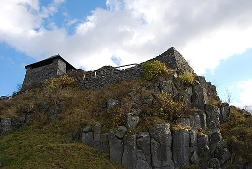 Salgó Mountain, Nógrád megye20 km E
-
Kisterenye Ghetto Historic site, Nógrád megye19 km SE
-
Salgótarján Ghetto Historic site, Nógrád megye15 km E
Sources & licences
Data last updated: · 2 independent sources