Szátok
Located in Nógrád megye, Hungary Coordinates: 47°57′23″ N 19°13′50″ E
- Population
- 618
- 618
- Elevation
- 164 m
- above sea level
- Local time
- UTC+01:00
- Europe/Budapest · UTC+01:00
About Szátok
Szátok is a village. Location: Nógrád megye, Hungary. Population: 618. Elevation: 164 m.
Szátok is a village and municipality in Nógrád County, Hungary. It is located in the western part of Cserhát, between the villages of Tereske and Romhány.
Read more on Wikipedia Text: Wikipedia contributors · CC BY-SA 4.0 · shortened
At a glance
- Area
- 9 km²
Source: Wikidata
In comparison
- No. 80 of 126 places in Nógrád megye by population
- Nearest larger town: Tereske, 2 km W
Nearby attractions & nature
Everything nearby-
Balassagyarmat Ghetto Historic site, Nógrád megye14 km N
-
Nagy-Mána Mountain, Nógrád megye21 km W
-
Pulya Mountain, Pest County20 km W
-
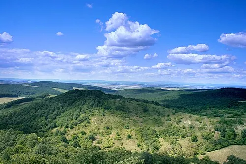 Cserhát Mountain, Hungary21 km E
-
Vác Ghetto Historic site, Pest County20 km S
Sources & licences
Data last updated: · 2 independent sources