Zalaegerszeg
Located in Zala County, Hungary Coordinates: 46°50′13″ N 16°50′38″ E
- Population
- 61,898
- 61.9K
- Elevation
- 167 m
- above sea level
- Local time
- UTC+01:00
- Europe/Budapest · UTC+01:00
About Zalaegerszeg
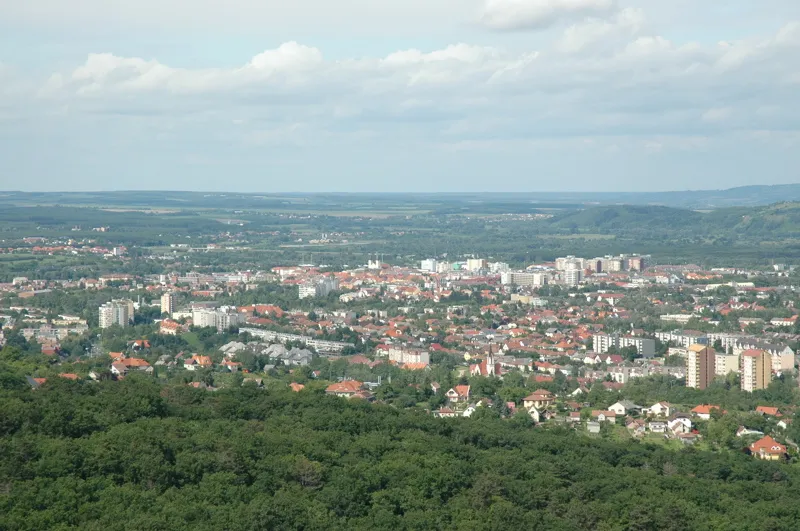
Zalaegerszeg is a city. Location: Zala County, Hungary. Population: 61,898. Elevation: 167 m.
Zalaegerszeg (Hungarian pronunciation: [ˈzɒlɒɛɡɛrsɛɡ] ; Croatian: Jegersek; Slovene: Jageršek; German: Egersee) is the administrative center of Zala county in western Hungary.
Read more on Wikipedia Text: Wikipedia contributors · CC BY-SA 4.0 · shortened
At a glance
- Area
- 102 km²
Source: Wikidata
In comparison
- Most populous of 32 places in Zala County
- Nearest larger town: Szombathely, 47 km N
- 3 sights and natural places within 10 km Zalaegerszeg Ghetto, Bazita Peak TV Tower
Nearby attractions & nature
Everything nearby-
Zalaegerszeg Ghetto Historic site, Zala County0.6 km N
-
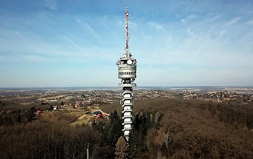 Bazita Peak TV Tower Landmark, Zala County3.5 km SW
-
Botfa Mountain, Zala County3.8 km SE
-
Konkolyos Mountain, Zala County23 km SE
-
Zalaszentgrót Ghetto Historic site, Zala County22 km NE
-
Telekes Mountain, Hungary13 km NW
-
Vasvár Ghetto Historic site, Vas County24 km N
Other cities and towns in Zala County
-
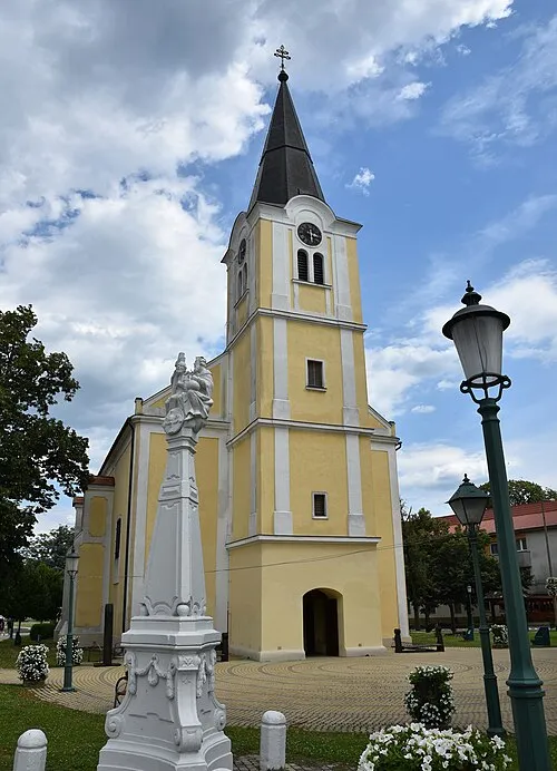 Lenti City, Zala County33 km SW
-
Keszthely City, Zala County31 km E
-
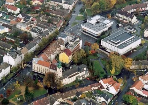 Nagykanizsa Town, Zala County44 km S
-
 Letenye City, Zala County46 km S
Sources & licences
Data last updated: · 2 independent sources