Cloonbur
Local name: Clonbur
Located in County Galway, Connacht Coordinates: 53°32′00″ N 9°22′00″ W
- Elevation
- 72 m
- above sea level
- Local time
- UTC+00:00
- Europe/Dublin · UTC+00:00
About Cloonbur
Cloonbur is a village. Location: County Galway, Connacht. Elevation: 72 m.
An Fhairche (locally An Fháirthí), or Clonbur in English, is a Gaeltacht village in Connemara, County Galway, Ireland. The village of Clonbur sits between Lough Corrib and Lough Mask. Two kilometres to the west rises Mount Gable where, according to legend, the hordes of Firbolg gathered on the hilltop before their clash with the Tuatha Dé Danann at the Battle of Moytura. Clonbur also contains the ruins of the Petersburg Estate.
Read more on Wikipedia Text: Wikipedia contributors · CC BY-SA 4.0 · shortened
In comparison
- Nearest larger town: Cong, 5 km E
- 13 sights and natural places within 10 km Coolin Lough, Benlevy
Nearby attractions & nature
Everything nearby-
Coolin Lough Lake, County Galway3.3 km W
-
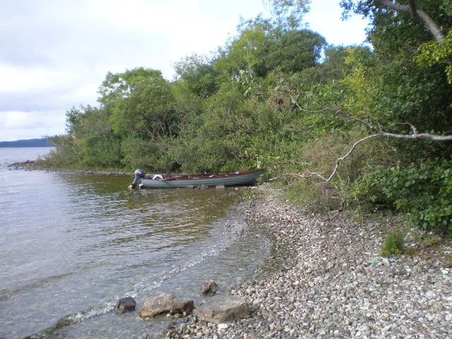 Inchagoill Island, County Galway6.5 km SE
-
Inishdoorus Island, County Galway5.6 km S
-
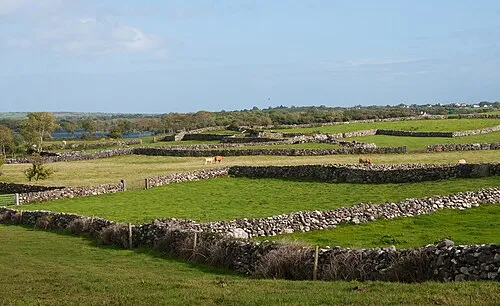 Inishmicatreer Island, County Galway8.6 km SE
-
Benlevy Mountain, County Galway4.4 km W
-
Caoran na gCaorach Mountain, County Galway8.4 km SW
Sources & licences
Data last updated: · 2 independent sources