Monivea
Local name: Muine Mheá
Located in County Galway, Connacht Coordinates: 53°22′04″ N 8°41′52″ W
- Population
- 308
- 308
- Elevation
- 66 m
- above sea level
- Local time
- UTC+00:00
- Europe/Dublin · UTC+00:00
About Monivea
Monivea is a village. Location: County Galway, Connacht. Population: 308. Elevation: 66 m.
Monivea (Irish: Muine Mheá) is a village in County Galway, Ireland. It is located approximately 30 km (19 mi) from Galway City and 9 km (6 mi) from Athenry. The village is in a civil parish of the same name. It was formerly part of the kingdom of the Soghain of Connacht. Monivea is known for its forest, Monivea Castle which now lies in partial ruins, and a well-preserved mausoleum.
Read more on Wikipedia Text: Wikipedia contributors · CC BY-SA 4.0 · shortened
In comparison
- No. 35 of 52 places in County Galway by population
- Nearest larger town: Athenry, 8 km S
- 10 sights and natural places within 10 km Cahermore, Lough Tee
Nearby attractions & nature
Everything nearby-
Cahermore Mountain, County Galway5.3 km W
-
Carbally Castle Historic site, County Galway5.9 km NE
-
Lough Tee Lake, County Galway5.6 km E
-
Lough Beg Lake, County Galway5.7 km N
-
Knockroe Mountain, County Galway6.5 km NW
-
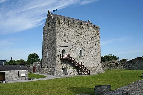 Athenry Castle Historic site, County Galway8.2 km S
Sources & licences
Data last updated: · 2 independent sources