Cornaclea Hill
Located in County Mayo, Connacht Coordinates: 53°59′53″ N 10°07′30″ W
- Elevation
- 269 m
- above sea level
- Local time
- UTC+00:00
- Europe/Dublin · UTC+00:00
About Cornaclea Hill
Cornaclea Hill is a mountain. Location: County Mayo, Connacht. Elevation: 269 m.
In comparison
- No. 1261 of 2106 mountains in Ireland by elevation
- 40 sights and natural places within 10 km Annagh Strand, Lough Nakeeroge
Nearest towns and villages
-
Dooagh Village, County Mayo2.6 km S
-
Tongree Village, County Mayo2 km S
-
Tawnaghmore Village, County Mayo2.1 km SW
-
Tawnaghlaur Village, County Mayo2.3 km SW
-
Slievemore Village, County Mayo2.9 km E
-
Pollagh Village, County Mayo3.1 km SE
Nearby attractions & nature
Everything nearby-
Annagh Strand Beach, County Mayo0.9 km W
-
Lough Nakeeroge Lake, County Mayo0.9 km W
-
Tinny Lough Lake, County Mayo2 km W
-
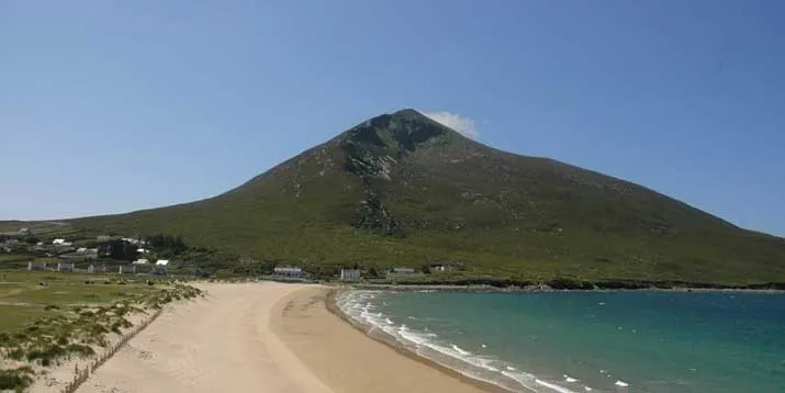 Slievemore Mountain, County Mayo4.5 km E
-
Dooagh Strand Beach, County Mayo2.8 km S
-
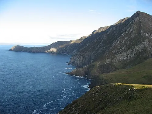 Croaghaun Mountain, County Mayo5 km W
-
Loughs Nakeeroge Lake, County Mayo2.9 km W
-
Lough Corrynfawy Lake, County Mayo3 km SW
More nature in Ireland
-
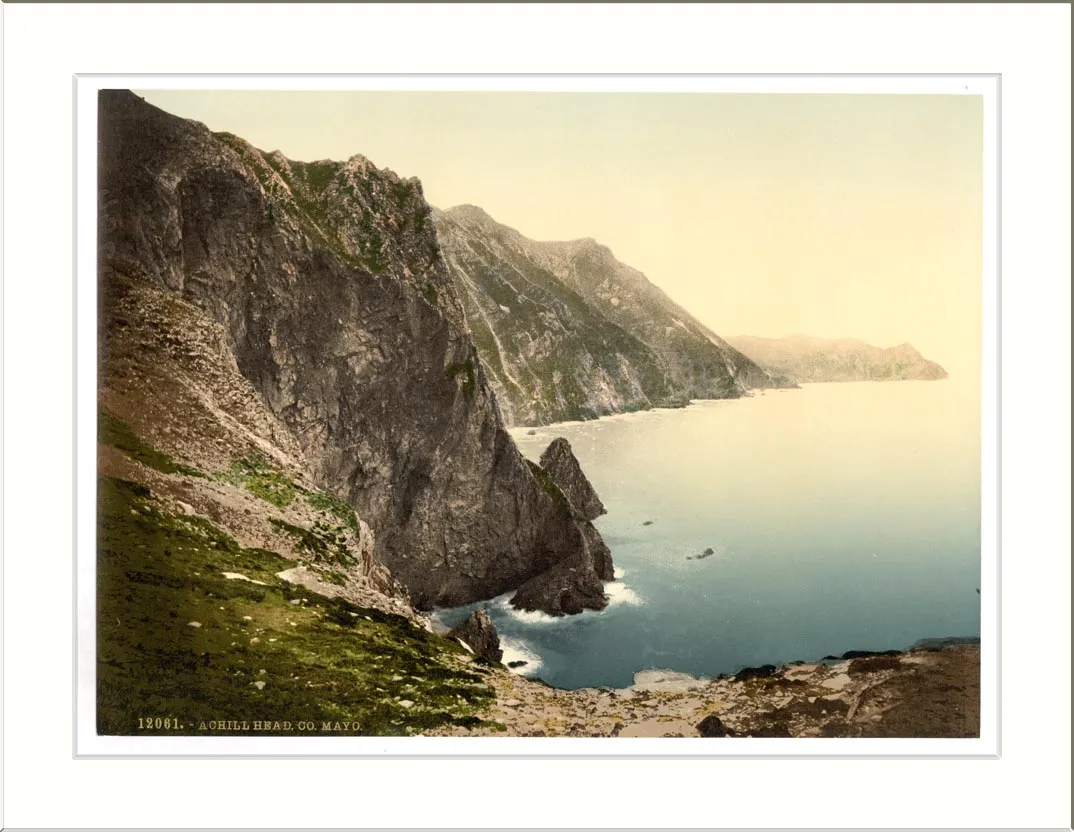 Achill Head Natural site, County Mayo9 km W
-
Saddle Head Natural site, County Mayo4.5 km NW
-
Croaghaun SW Top Mountain, County Mayo5.6 km W
-
Little Saddle Head Natural site, County Mayo8.1 km W
-
Glennanaff Natural site, County Mayo8.2 km SE
-
Moyteoge Head Natural site, County Mayo6.1 km SW
Sources & licences
Data last updated: