Shrule
Local name: Sruthair
Located in County Mayo, Connacht Coordinates: 53°31′14″ N 9°05′21″ W
- Population
- 432
- 432
- Elevation
- 33 m
- above sea level
- Local time
- UTC+00:00
- Europe/Dublin · UTC+00:00
About Shrule
Shrule is a village. Location: County Mayo, Connacht. Population: 432. Elevation: 33 m.
Shrule (Irish: Sruthair, also anglicised to Shruel, usage deprecated) is a village in County Mayo in Ireland. It is in the south-east of Mayo, near the County Galway border. The boundary between counties Mayo and Galway follows much of the course of the Black River which runs on the south side of the village. The village is 27 km north of Galway city on the N84 road, and is on several bus routes. It is in a civil parish of the same name.
Read more on Wikipedia Text: Wikipedia contributors · CC BY-SA 4.0 · shortened
In comparison
- No. 20 of 39 places in County Mayo by population
- Nearest larger town: Headford, 6 km S
- 2 sights and natural places within 10 km Black River, Knockmaa
Nearby attractions & nature
Everything nearby-
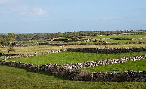 Inishmicatreer Island, County Galway11 km W
-
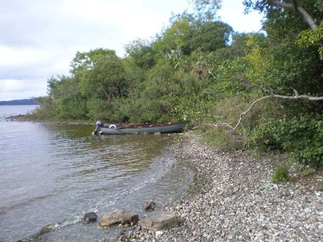 Inchagoill Island, County Galway16 km W
-
Knockmaa Mountain, County Galway9.4 km SE
-
Kilroe Historic site, County Galway11 km SE
-
Black River River, Ireland9.4 km SW
-
Illaunaneel Island, County Galway14 km S
Sources & licences
Data last updated: · 2 independent sources