Sallins
Local name: Na Solláin
Located in County Kildare, Leinster Coordinates: 53°14′56″ N 6°39′58″ W
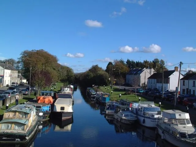
- Population
- 5,283
- 5.3K
- Elevation
- 77 m
- above sea level
- Local time
- UTC+00:00
- Europe/Dublin · UTC+00:00
About Sallins
Sallins is a town. Location: County Kildare, Leinster. Population: 5,283. Elevation: 77 m.
Sallins (Irish: Na Solláin) is a town in County Kildare, Ireland, situated 3.5 km north of the town centre of Naas, from which it is separated by the M7 motorway. Sallins is the anglicised name of Na Solláin which means "the willows". In the Central Statistics Office census of 2022, Sallins had a population of 6,269, more than double the 2,922 recorded in the 2002 census. It is the tenth largest settlement in Kildare and the 80th largest in Ireland.
Read more on Wikipedia Text: Wikipedia contributors · CC BY-SA 4.0 · shortened
At a glance
- Area
- 1.5 km²
Source: Wikidata
In comparison
- No. 13 of 53 places in County Kildare by population
- Nearest larger town: Naas, 4 km S
- 7 sights and natural places within 10 km Castlekeely, Painestown River
Nearby attractions & nature
Everything nearby-
Castlekeely Historic site, County Kildare2.4 km W
-
Mullacash Hill Mountain, County Kildare9.2 km S
-
Morell River River, County Kildare7.3 km NE
-
Painestown River River, County Kildare5.4 km NE
-
Mondella Park Natural site, County Kildare6.3 km W
-
Pickering Forest Natural site, County Kildare12 km NE
-
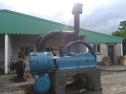 The Steam Museum Museum, County Kildare8.3 km NE
-
Dowry Mountain, County Wicklow15 km E
Other cities and towns in County Kildare
Sources & licences
Data last updated: · 2 independent sources