Arderin
Local name: Ard Éireann
Located in County Laois, Leinster Coordinates: 53°02′26″ N 7°39′15″ W
- Elevation
- 527 m
- above sea level
- Local time
- UTC+00:00
- Europe/Dublin · UTC+00:00
About Arderin
Arderin is a mountain. Location: County Laois, Leinster. Elevation: 527 m.
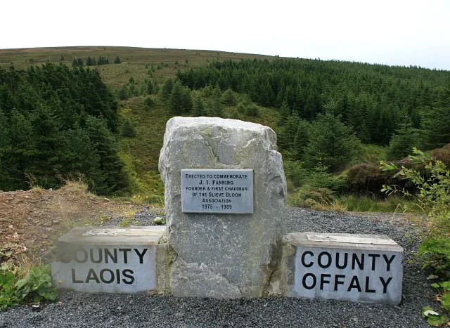
Arderin (Irish: Ard Éireann, meaning 'Ireland's height') is a mountain on the border between counties Laois and Offaly in Ireland. With a height of 527 metres (1,729 ft) it is the highest point in the Slieve Bloom Mountains, and is the highest point in both counties. An Arderin is also a descriptive word for a specific category of Irish mountains in the series of lists maintained by Irish mountain database, MountainViews; those over 500m with a prominence of at least 30m.
Read more on Wikipedia Text: Wikipedia contributors · CC BY-SA 4.0 · shortened
At a glance
- Topographic prominence
- 420 m
Source: Wikidata
In comparison
- No. 408 of 2106 mountains in Ireland by elevation
- 24 sights and natural places within 10 km An Barr Cam, Cummen
Nearest towns and villages
-
Srahanboy Village, County Laois2 km SE
-
Cappanarrow Village, County Laois3.6 km SE
-
Northgrove Village, County Laois4.1 km E
-
Kinnitty Village, County Offaly7.6 km NW
-
Ballinrally Village, County Laois5 km S
-
Pollduff Village, County Offaly4.7 km W
Nearby attractions & nature
Everything nearby-
An Barr Cam Mountain, County Offaly1.2 km NW
-
Cummen Mountain, County Laois2.6 km E
-
Carroll's Hill Mountain, County Offaly3.2 km N
-
Farbreague Mountain, County Offaly3.5 km SW
-
Stillbrook Hill Mountain, County Offaly4.9 km NE
-
Moll Joy’s Hill Mountain, County Laois5 km S
-
Garraunbaun Mountain, County Laois5.1 km SW
-
Cumber Hill Mountain, County Offaly5.4 km NW
Sources & licences
Data last updated: · 2 independent sources