Clermont Carn
Located in County Louth, Leinster Coordinates: 54°04′45″ N 6°19′18″ W
- Elevation
- 508 m
- above sea level
- Local time
- UTC+00:00
- Europe/Dublin · UTC+00:00
About Clermont Carn
Clermont Carn is a mountain. Location: County Louth, Leinster. Elevation: 508 m.
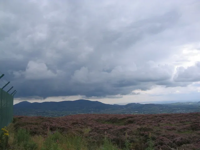
Clermont Carn (Irish: Carnán Mhaighréid Náir, meaning 'cairn of noble Margaret'), also known as Black Mountain, is a mountain that rises to 510 metres (1,670 ft) in the Cooley Mountains of County Louth, Ireland. It is at the border with Northern Ireland, and is also the location of the Clermont Carn transmission site. The mountain's name refers to an ancient burial cairn on its summit, and to Lord Clermont of Ravensdale.
Read more on Wikipedia Text: Wikipedia contributors · CC BY-SA 4.0 · shortened
At a glance
- Topographic prominence
- 312 m
Source: Wikidata
In comparison
- No. 459 of 2106 mountains in Ireland by elevation
- 32 sights and natural places within 10 km The Ben Rock, Clermont
Nearest towns and villages
-
Omeath Village, County Louth4.2 km E
-
Currathir Bridge Village, County Louth2.2 km SW
-
Warrenpoint Town, Newry Mourne and Down4.9 km NE
-
Tullaghomeath Village, County Louth2.5 km E
-
Ardaghy Village, County Louth2.5 km E
-
Ravensdale Village, County Louth3.2 km S
Nearby attractions & nature
Everything nearby-
The Ben Rock Mountain, County Louth1.1 km SW
-
Clermont Mountain, County Louth1.5 km N
-
Anglesey Mountain Mountain, Ireland2.1 km N
-
Carnavaddy Mountain, County Louth2.4 km SE
-
Carrabane Mountain, County Louth2.4 km S
-
Feede Mountain Mountain, County Louth2.8 km W
-
Faughil Mountain, Newry Mourne and Down4.4 km NW
-
The Castle Mountain, County Louth4.5 km SE
Sources & licences
Data last updated: · 2 independent sources