Ratoath
Local name: Ráth Tó
Located in County Meath, Leinster Coordinates: 53°30′29″ N 6°27′45″ W
- Population
- 9,043
- 9K
- Elevation
- 92 m
- above sea level
- Local time
- UTC+00:00
- Europe/Dublin · UTC+00:00
About Ratoath
Ratoath is a town. Location: County Meath, Leinster. Population: 9,043. Elevation: 92 m.
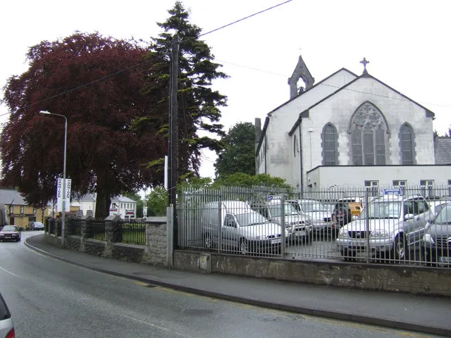
Ratoath (Irish: Ráth Tó, meaning 'Tó's ringfort') is a commuter town in County Meath, Ireland. A branch of the Broad Meadow Water (Broadmeadow River) (Irish: An Gabhair) flows through the town. The R125 and R155 roads meet in the village. At the 2022 census, there were 10,007 people living in Ratoath, making it the fourth largest urban area in Meath. The town is around 25 kilometres (16 mi) northwest of Dublin city centre.
Read more on Wikipedia Text: Wikipedia contributors · CC BY-SA 4.0 · shortened
In comparison
- No. 5 of 35 places in County Meath by population
- Nearest larger town: Ashbourne, 4 km E
Nearby attractions & nature
Everything nearby-
Rathbeggan Lakes Natural site, County Meath5.5 km SW
-
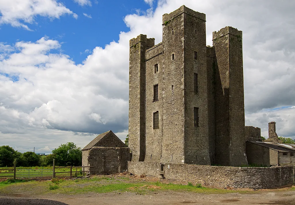 Dunsoghly Castle Historic site, Fingal13 km SE
-
Derrypatrick Bridge Landmark, County Meath13 km W
-
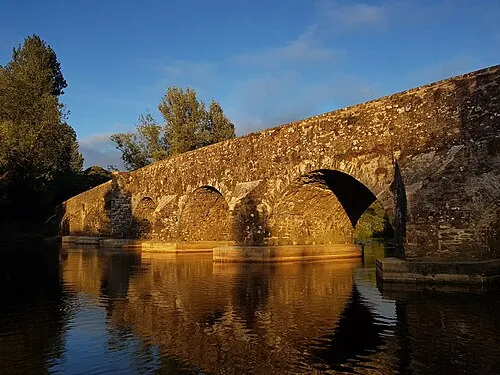 Kilcarn Bridge Landmark, County Meath19 km NW
-
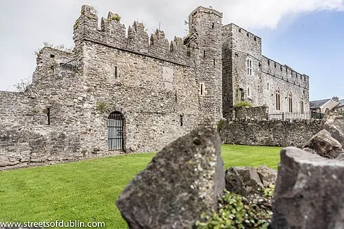 Swords Castle Historic site, Fingal17 km E
-
Hungry Bridge Landmark, County Meath15 km NW
-
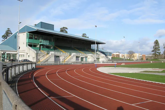 Santry Landmark, Fingal19 km SE
-
Ambrose Bridge Landmark, County Meath15 km NW
Other cities and towns in County Meath
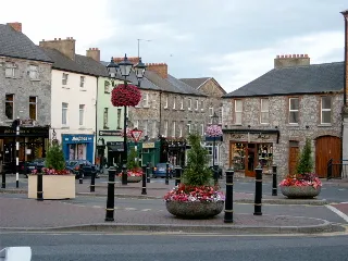
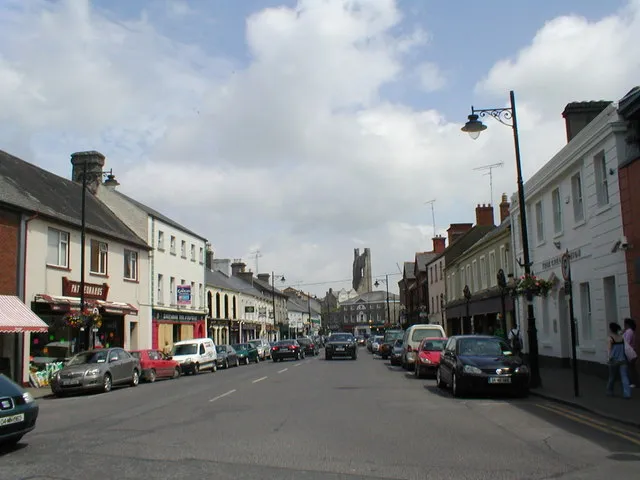
Sources & licences
Data last updated: · 2 independent sources