Yellow Furze
Local name: An Aitinn Bhuí
Located in County Meath, Leinster Coordinates: 53°40′24″ N 6°34′18″ W
- Elevation
- 74 m
- above sea level
- Local time
- UTC+00:00
- Europe/Dublin · UTC+00:00
About Yellow Furze
Yellow Furze is a village. Location: County Meath, Leinster. Elevation: 74 m.
Yellow Furze (Irish: an Aitinn Bhuí, meaning 'small yellow place') is a small village in County Meath, Ireland. It is located 5 km southwest of Slane, on the boundary between the townlands of Dollardstown (Baile an Dolardaigh) and Seneschalstown (Baile an tSeanascail). Yellow Furze is in the Catholic parish of Beauparc, which extends over an area on the south side of the River Boyne between Navan and Slane. The village church is the Church of the Assumption and there is a cemetery next to it.
Read more on Wikipedia Text: Wikipedia contributors · CC BY-SA 4.0 · shortened
In comparison
- Nearest larger town: Slane, 4 km NE
- 21 sights and natural places within 10 km Broadboyne Bridge, Hay’s Bridge
Nearby attractions & nature
Everything nearby-
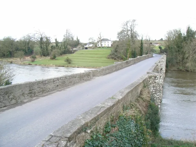 Broadboyne Bridge Landmark, County Meath2.8 km NW
-
Hay’s Bridge Landmark, County Meath3 km W
-
Ardmulchan Bridge Landmark, County Meath3.5 km W
-
Carn Hill Mountain, County Meath4.2 km SW
-
Mullagha Hill Mountain, County Meath8.4 km NW
-
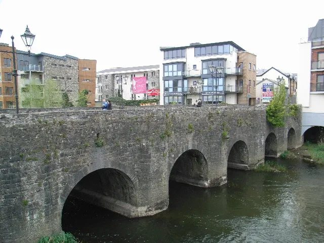 Pollboy Bridge Landmark, County Meath7.5 km W
Sources & licences
Data last updated: · 2 independent sources