Ballinastraw
Located in County Wicklow, Leinster Coordinates: 52°57′46″ N 6°12′37″ W
- Elevation
- 284 m
- above sea level
- Local time
- UTC+00:00
- Europe/Dublin · UTC+00:00
About Ballinastraw
Ballinastraw is a mountain. Location: County Wicklow, Leinster. Elevation: 284 m.
In comparison
- No. 1201 of 2106 mountains in Ireland by elevation
- 40 sights and natural places within 10 km Sleanaglogh, Rathdrum Bridge
Nearest towns and villages
-
Barnbown Village, County Wicklow0.7 km E
-
Rathdrum Village, County Wicklow3.7 km S
-
Glenealy Village, County Wicklow3.6 km E
-
Garryduff Cross Roads Village, County Wicklow1.1 km N
-
Ballydowling Village, County Wicklow1.7 km E
-
Bahana Village, County Wicklow2.6 km SE
Nearby attractions & nature
Everything nearby-
Sleanaglogh Mountain, County Wicklow2.2 km NE
-
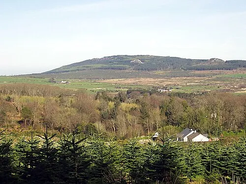 Carrick Mountain Mountain, County Wicklow3.7 km NE
-
Kilnamanagh Hill Mountain, County Wicklow4.3 km E
-
Trooperstown Hill Mountain, County Wicklow5.1 km NW
-
The Round Ball Mountain, County Wicklow6.2 km SE
-
Kirikee Mountain Mountain, County Wicklow6.4 km W
-
Westaston Hill Mountain, County Wicklow5.7 km SE
-
Rathdrum Bridge Landmark, County Wicklow3.1 km S
More nature in Ireland
-
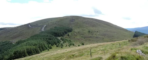 Mullacor Mountain, County Wicklow11 km W
-
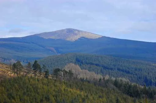 Croaghanmoira Mountain, County Wicklow12 km SW
-
Caran Mountain, County Wicklow8 km SW
-
Cullentragh Mountain Mountain, County Wicklow8.5 km W
-
Carriglineen Mountain Mountain, County Wicklow8.5 km W
-
The Devils Glen Natural site, County Wicklow8.1 km NE
Sources & licences
Data last updated: