Lough Bray Lower
Located in County Wicklow, Leinster Coordinates: 53°11′04″ N 6°18′04″ W
- Elevation
- 372 m
- above sea level
- Local time
- UTC+00:00
- Europe/Dublin · UTC+00:00
About Lough Bray Lower
Lough Bray Lower is a lake. Location: County Wicklow, Leinster. Elevation: 372 m.
In comparison
- 50 sights and natural places within 10 km Lough Bray Upper, Kippure Radio Mast
Nearest towns and villages
-
Aurora Village, County Wicklow1.1 km NE
-
Glencree Village, County Wicklow1.2 km N
-
Ballycoyle Village, County Wicklow2.2 km E
-
Oldboleys Village, County Wicklow2.3 km NE
-
Cloon Village, County Wicklow3.7 km E
-
Enniskerry Village, County Wicklow8.9 km E
Nearby attractions & nature
Everything nearby-
Lough Bray Upper Lake, County Wicklow0.9 km S
-
Kippure Mountain, County Wicklow2.2 km W
-
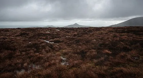 Tonduff North Mountain, County Wicklow3.6 km SE
-
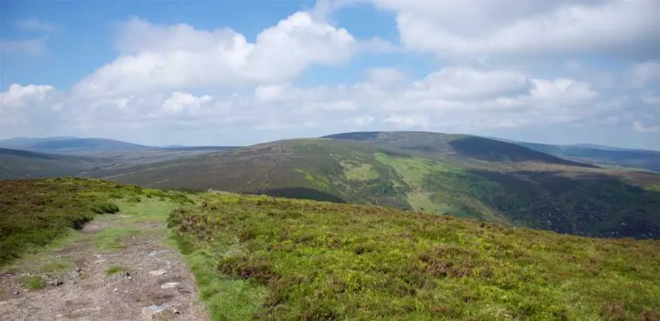 Tonduff South Mountain, County Wicklow3.8 km SE
-
Toin Dubh Mountain, County Wicklow3.5 km SE
-
Ballyreagh Wood Natural site, County Wicklow3.4 km SE
-
Prince William's Seat Mountain, County Wicklow4.6 km NE
-
Glendoo Mountain Mountain, Dún Laoghaire-Rathdown4.3 km N
Sources & licences
Data last updated: