Saint Mullins
Located in County Wicklow, Leinster Coordinates: 52°49′20″ N 6°28′31″ W
- Elevation
- 406 m
- above sea level
- Local time
- UTC+00:00
- Europe/Dublin · UTC+00:00
About Saint Mullins
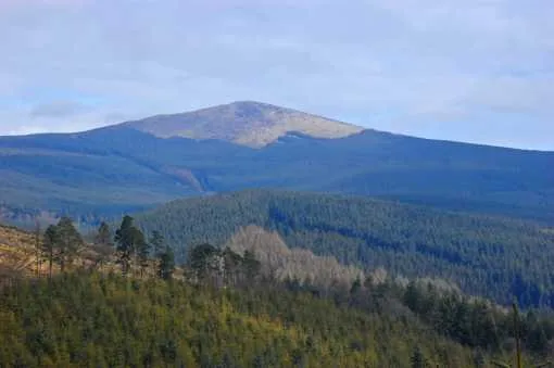
Saint Mullins is a mountain. Location: County Wicklow, Leinster. Elevation: 406 m.
In comparison
- No. 776 of 2106 mountains in Ireland by elevation
- 42 sights and natural places within 10 km Ballycumber Hill, Muskeagh Hill
Nearest towns and villages
-
Tinahely Village, County Wicklow3 km S
-
Mullans South Village, County Wicklow1.4 km NW
-
Mullans North Village, County Wicklow2.1 km N
-
Bridgeland Village, County Wicklow2.2 km SW
-
Ford Village, County Wicklow2.2 km NW
-
Mucklagh Village, County Wicklow5.6 km E
Nearby attractions & nature
Everything nearby-
Ballycumber Hill Mountain, County Wicklow0.2 km N
-
Muskeagh Hill Mountain, County Wicklow3.2 km SW
-
Killavery Wood Natural site, County Wicklow4.3 km SE
-
Slievemweel Mountain, County Wicklow5.3 km NE
-
Knockatomcoyle Mountain, County Wicklow5.4 km W
-
Coolalug Wood Natural site, County Wicklow4.6 km E
-
Tomnafinnoge Wood Natural site, County Wicklow6.3 km S
-
Eagle Hill Mountain, County Carlow6.6 km NW
More nature in Ireland
-
 Croaghanmoira Mountain, County Wicklow13 km NE
-
Preban Hill Mountain, County Wicklow6.7 km NE
-
Cronelea Hill Mountain, County Wicklow7 km SW
-
Ballycurragh Hill Mountain, County Wicklow7.2 km NE
-
Seskin Mountain, County Wicklow7.4 km W
-
Ballinagappoge Mountain Mountain, County Wicklow10 km NE
Sources & licences
Data last updated: · 2 independent sources