Killiney
Local name: Cill Iníon Léinín
Located in Dún Laoghaire-Rathdown, Leinster Coordinates: 53°15′48″ N 6°07′01″ W
- Elevation
- 112 m
- above sea level
- Local time
- UTC+00:00
- Europe/Dublin · UTC+00:00
About Killiney
Killiney is a village. Location: Dún Laoghaire-Rathdown, Leinster. Elevation: 112 m.
Killiney (Irish: Cill Iníon Léinín, meaning 'church of the daughters of Léinín') is an affluent coastal suburb on the southside of Dublin, Ireland. It lies south of Dalkey, east and northeast of Ballybrack and Sallynoggin and north of Shankill, in the local government area of Dún Laoghaire–Rathdown within County Dublin. The place grew around the 11th century Killiney Church, and became a popular seaside resort in the 19th century.
Read more on Wikipedia Text: Wikipedia contributors · CC BY-SA 4.0 · shortened
In comparison
- Nearest larger town: Dalkey, 2 km NE
- 23 sights and natural places within 10 km Killiney Hill, Dalkey Hill
Airports nearest to Killiney
- Dublin Airport (DUB) Dublin 21 km
- Isle of Man Airport (IOM) Castletown, Rushen 134 km
- George Best Belfast City Airport (BHD) Belfast 152 km
Straight-line distance; airports with scheduled flights only. Source: OurAirports (public domain).
Nearby attractions & nature
Everything nearby-
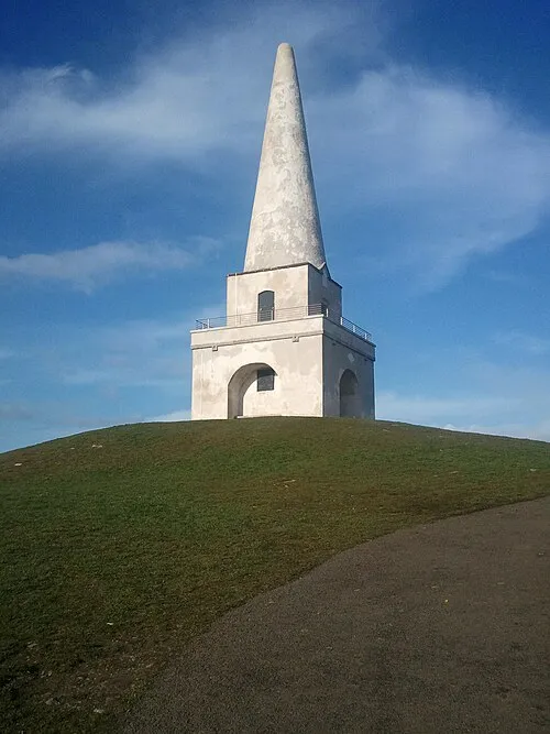 Killiney Hill Mountain, Dún Laoghaire-Rathdown0.4 km NE
-
Dalkey Hill Mountain, Dún Laoghaire-Rathdown1 km NE
-
Killiney Bay Natural site, Leinster1.7 km E
-
Dalkey Island Island, Leinster2.5 km E
-
Scotsmans Bay Natural site, Leinster3.3 km N
-
Shankill Castle Historic site, Dún Laoghaire-Rathdown4.3 km S
Sources & licences
Data last updated: · 2 independent sources