Damastown
Located in Fingal, Leinster Coordinates: 53°33′21″ N 6°18′17″ W
- Elevation
- 112 m
- above sea level
- Local time
- UTC+00:00
- Europe/Dublin · UTC+00:00
About Damastown
Damastown is a village. Location: Fingal, Leinster. Elevation: 112 m.
Damastown (Irish: Baile Dama) is a townland in the civil parish of Mulhuddart in Fingal, County Dublin, Ireland. The townland is located west of the village of Mulhuddart and is north of the N3 road. A 1.8 km (1.1 mi) link road is nearing completion to link Damastown to the Cruiserath Road intersecting Church Road which links Mulhuddart to Tyrrelstown. The area is primarily laid out as an industrial estate, and companies with premises there include IBM and Gem Pack Foods.
Read more on Wikipedia Text: Wikipedia contributors · CC BY-SA 4.0 · shortened
In comparison
- Nearest larger town: Oldtown, 3 km S
- 3 sights and natural places within 10 km Spring Hill, Knockbrack
Nearby attractions & nature
Everything nearby-
Spring Hill Mountain, Fingal1.1 km SW
-
Knockbrack Mountain, Fingal3.4 km NE
-
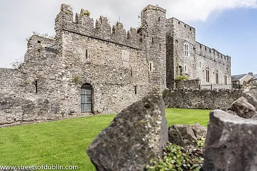 Swords Castle Historic site, Fingal12 km SE
-
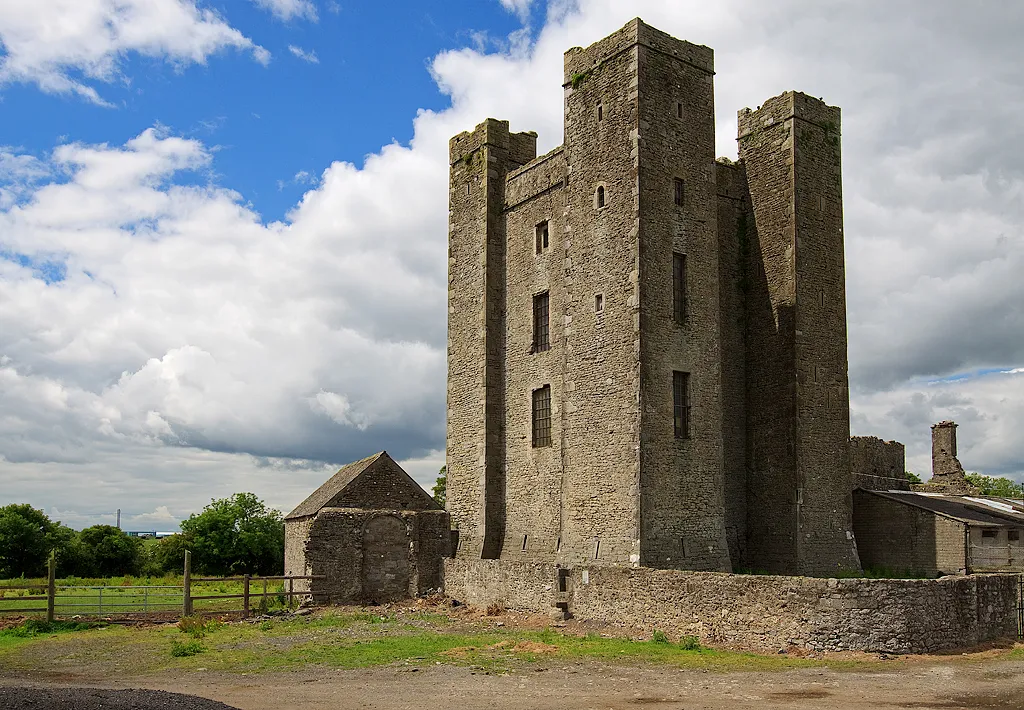 Dunsoghly Castle Historic site, Fingal14 km S
-
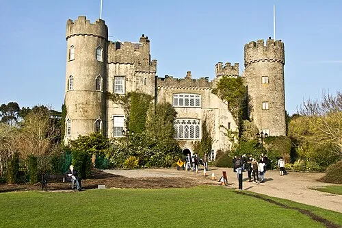 Malahide Castle Historic site, Fingal15 km SE
-
Benhead Natural site, County Meath12 km NE
Sources & licences
Data last updated: · 2 independent sources