Kilbarrack
Local name: Cill Bharróg
Located in Fingal, Leinster Coordinates: 53°23′29″ N 6°08′45″ W
- Elevation
- 8 m
- above sea level
- Local time
- UTC+00:00
- Europe/Dublin · UTC+00:00
About Kilbarrack
Kilbarrack is a village. Location: Fingal, Leinster. Elevation: 8 m.
Kilbarrack (Irish: Cill Bharróg, meaning 'church of Saint Berach' or 'church of young Barra') is a residential suburb of Dublin, Ireland, running inwards from the coast, about 8 km (5.0 mi) from the city's centre. It is also a civil parish in the ancient barony of Coolock. Modern-day Kilbarrack is within the jurisdiction of Dublin City Council, with part of its old lands now in Donaghmede, and part in Bayside under Fingal County Council jurisdiction.
Read more on Wikipedia Text: Wikipedia contributors · CC BY-SA 4.0 · shortened
In comparison
- Nearest larger town: Bayside, 0 km SE
- 58 sights and natural places within 10 km Sutton Strand, North Bull Island
Nearby attractions & nature
Everything nearby-
Sutton Strand Beach, Leinster1.8 km E
-
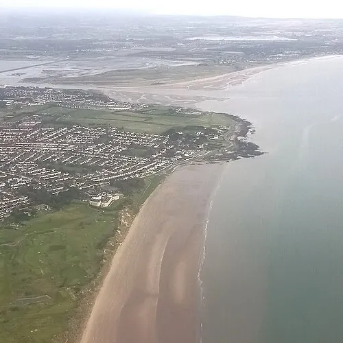 Velvet Strand Beach, Leinster3.7 km NE
-
Portmarnock Beach Beach, Leinster3.3 km NE
-
North Bull Island Island, Leinster2.2 km S
-
Baldoyle Creek River, Leinster3.4 km NE
-
 Malahide Castle Historic site, Fingal6.1 km N
Sources & licences
Data last updated: · 2 independent sources