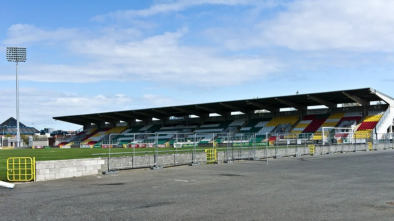
Tallaght Stadium
Located in South Dublin, Leinster Coordinates: 53°17′01″ N 6°22′25″ W
- Local time
- UTC+00:00
- Europe/Dublin · UTC+00:00
- Elevation
- 97 m
- above sea level
About Tallaght Stadium
Tallaght Stadium is a landmark. Location: South Dublin, Leinster.
Tallaght Stadium (Irish: Staid Thamhlachta) is an association football stadium in Ireland based in Tallaght, South Dublin. The club Shamrock Rovers originally announced details of the stadium in July 1996. The stadium is now owned and operated by South Dublin County Council with Shamrock Rovers as the anchor tenants. It is the League of Ireland's Only UEFA Category Four Stadium, With other Irish clubs having to play UEFA Club Competition Qualifying Rounds Here.
Read more on Wikipedia Text: Wikipedia contributors · CC BY-SA 4.0 · shortened
At a glance
- Built
- 2000
- Opened
- 2009
Source: Wikidata
In comparison
- 38 sights and natural places within 10 km Moyle Park, Knockannavea
Airports nearest to Tallaght Stadium
- Dublin Airport (DUB) Dublin 18 km
- Isle of Man Airport (IOM) Castletown, Rushen 146 km
- George Best Belfast City Airport (BHD) Belfast 152 km
Straight-line distance; airports with scheduled flights only. Source: OurAirports (public domain).
Nearby attractions & nature
Everything nearby-
Slievenabawnoge Mountain, South Dublin4.6 km S
-
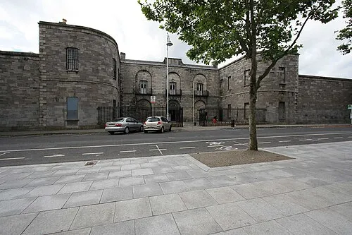 Kilmainham Gaol Museum, Dublin City7.8 km NE
-
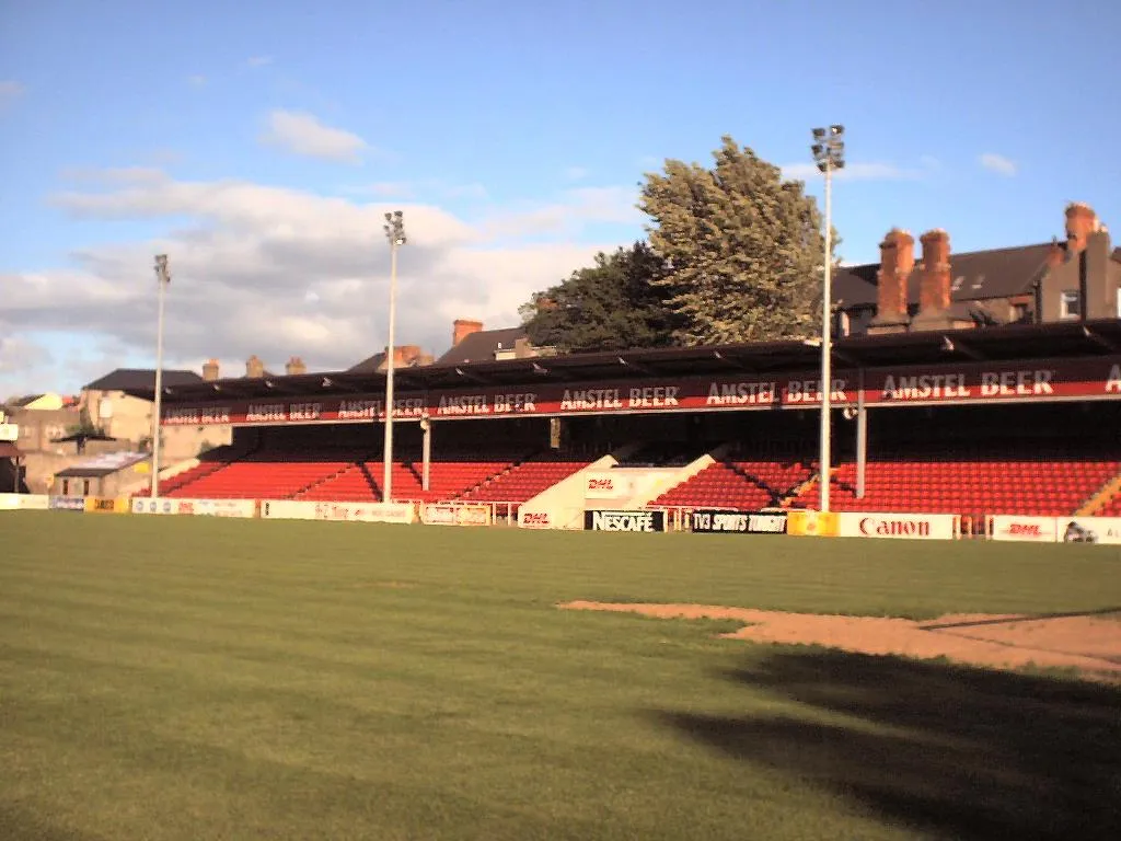 Richmond Park Landmark, Dublin City7.4 km NE
-
Verschoyles Hill Mountain, South Dublin4.8 km SW
-
Moyle Park Natural site, South Dublin4.4 km N
-
Knockannavea Mountain, South Dublin4.6 km SW
-
Nangor Castle Historic site, South Dublin5.6 km NW
-
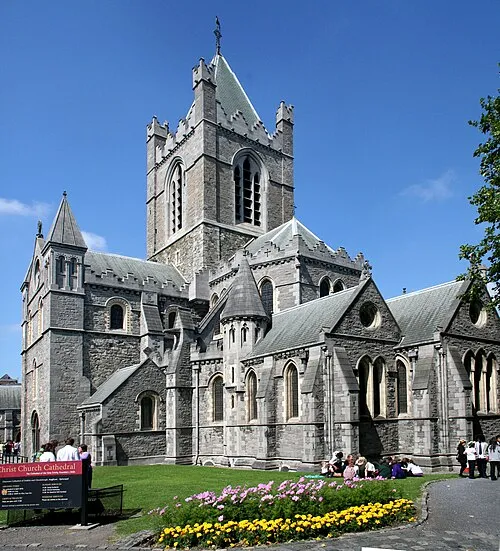 Christ Church Cathedral Attraction, Dublin City9.5 km NE
Nearest towns and villages
Sources & licences
Data last updated: · 2 independent sources